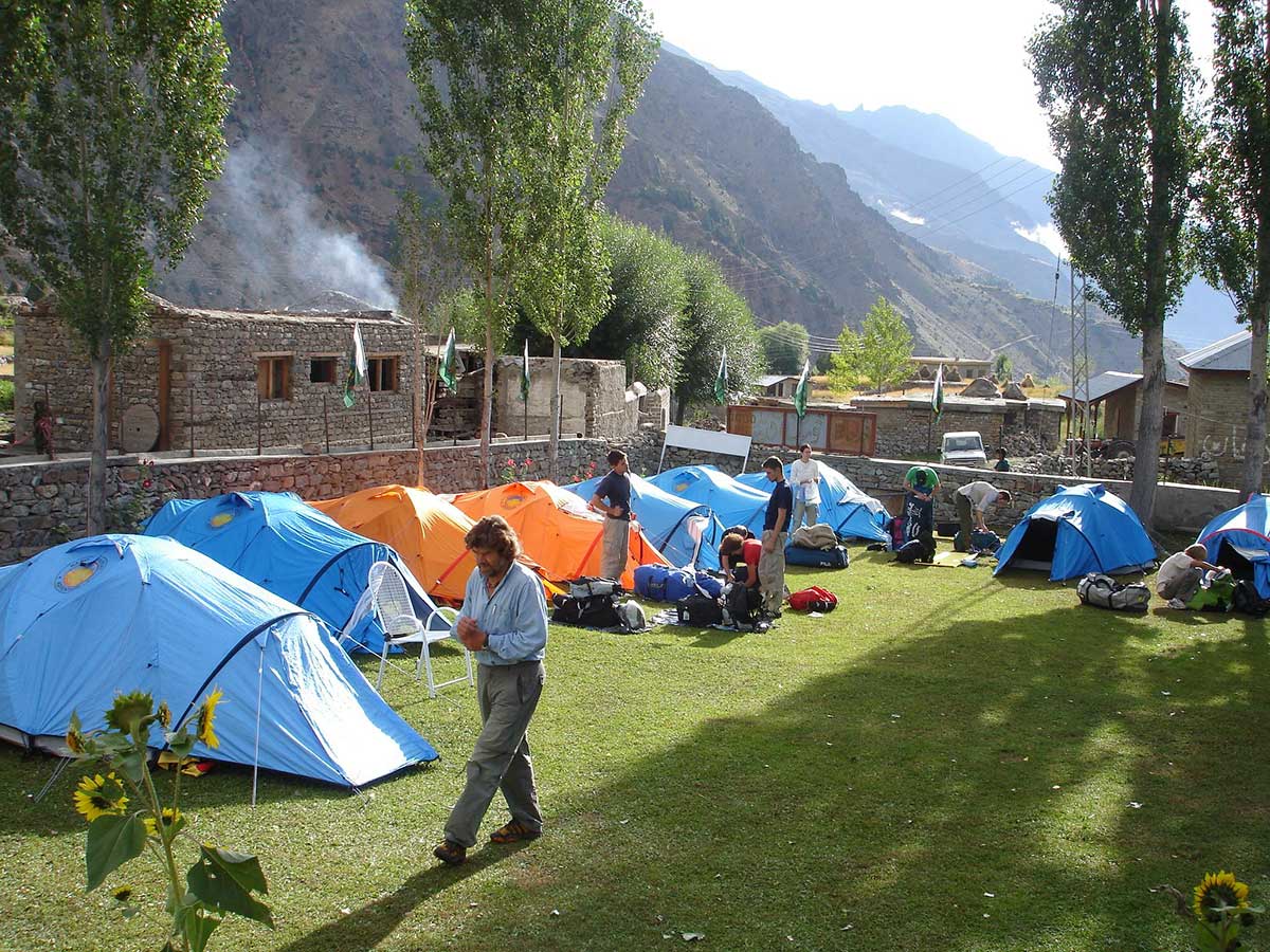
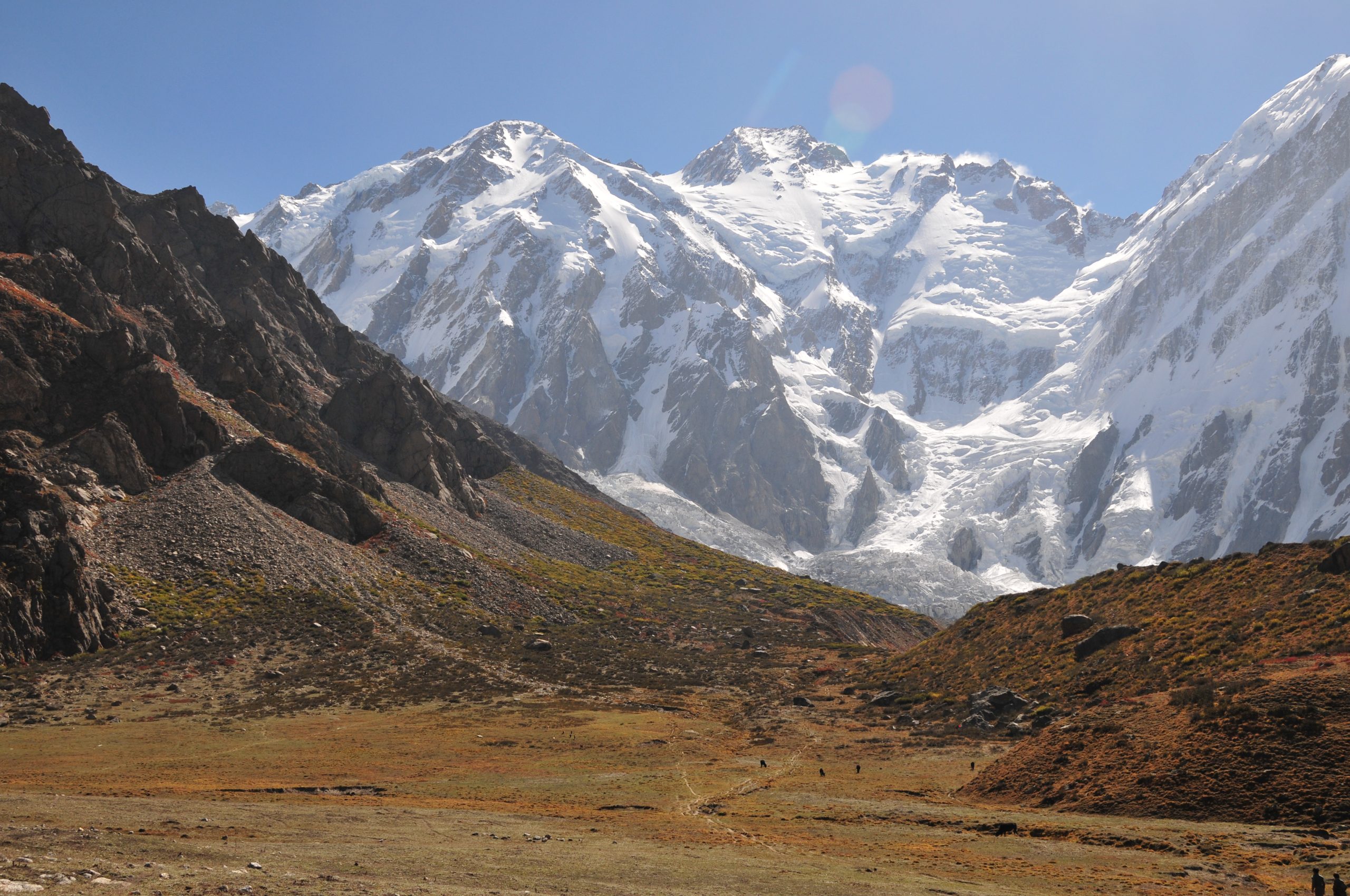
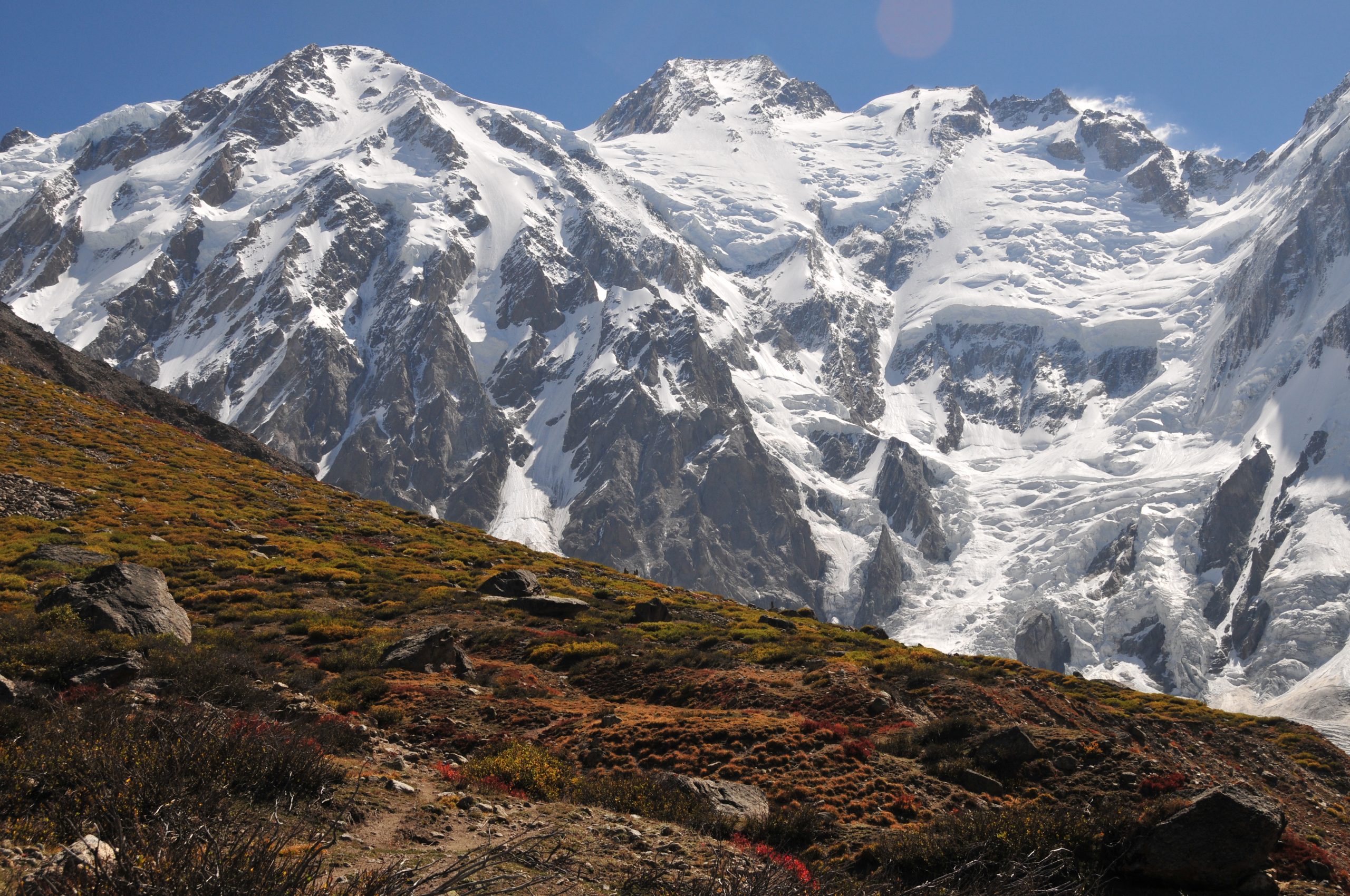
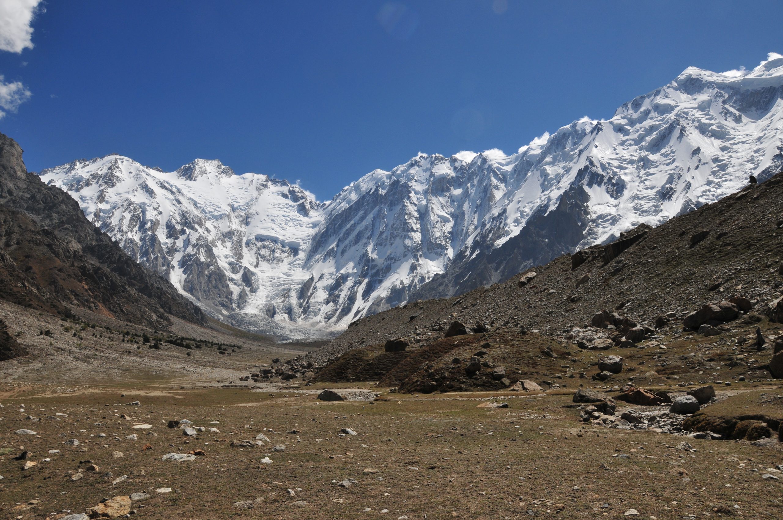
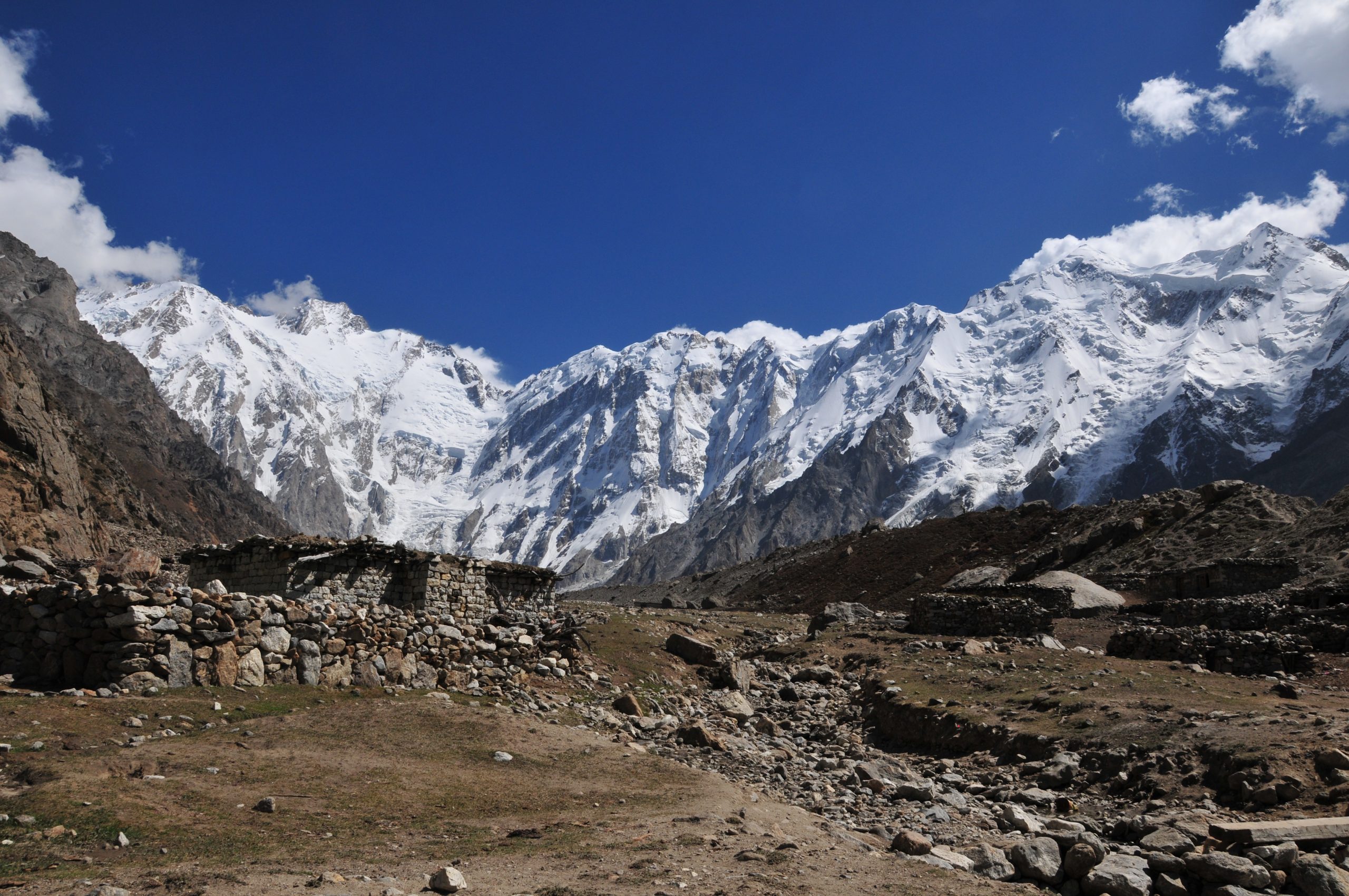
Broad Peak Expedition
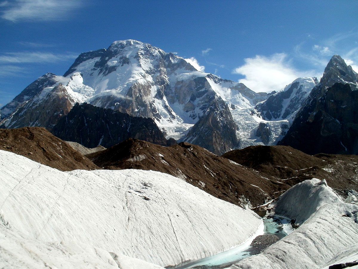
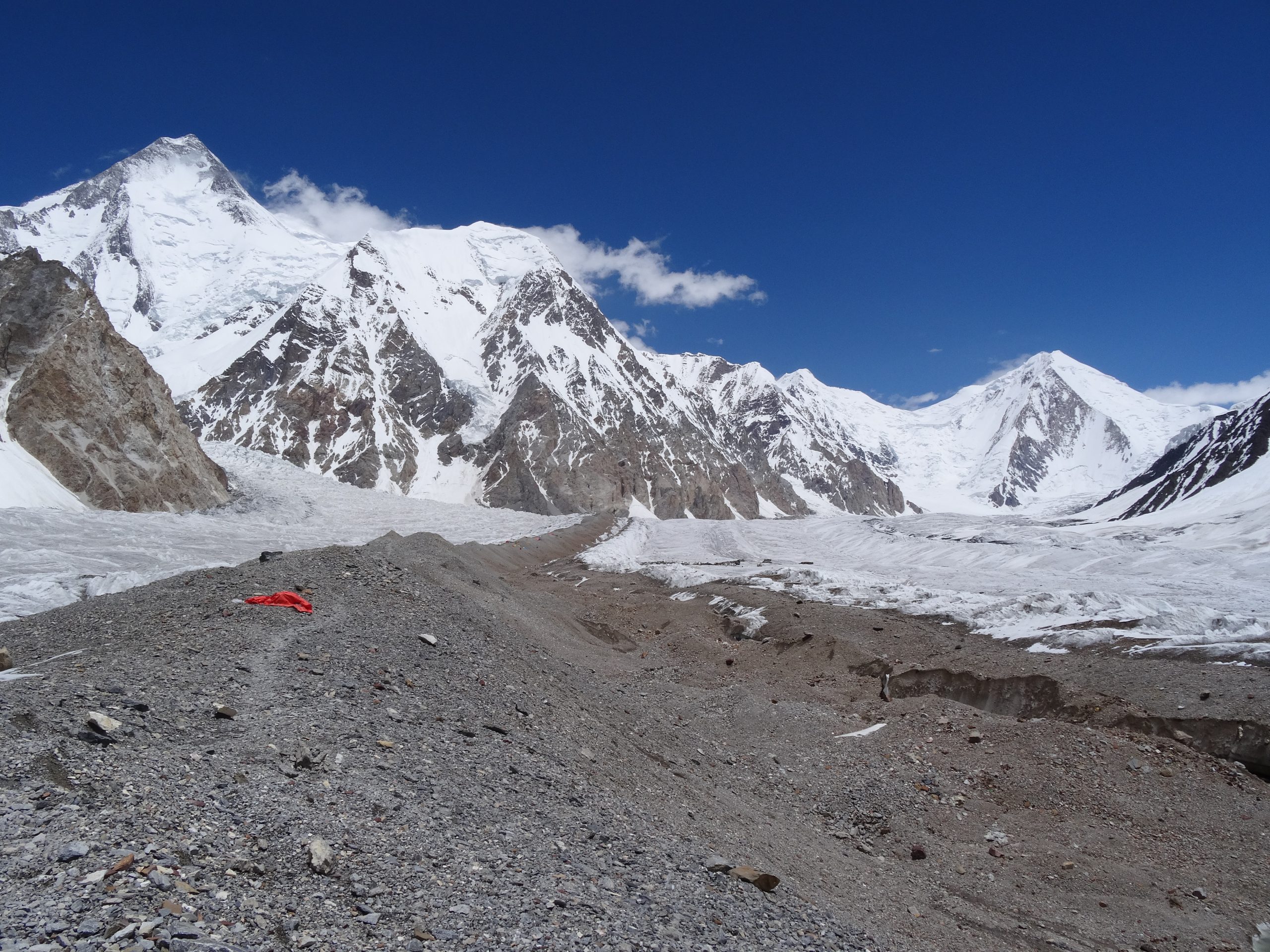
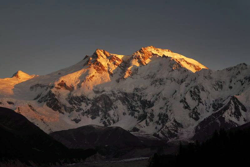
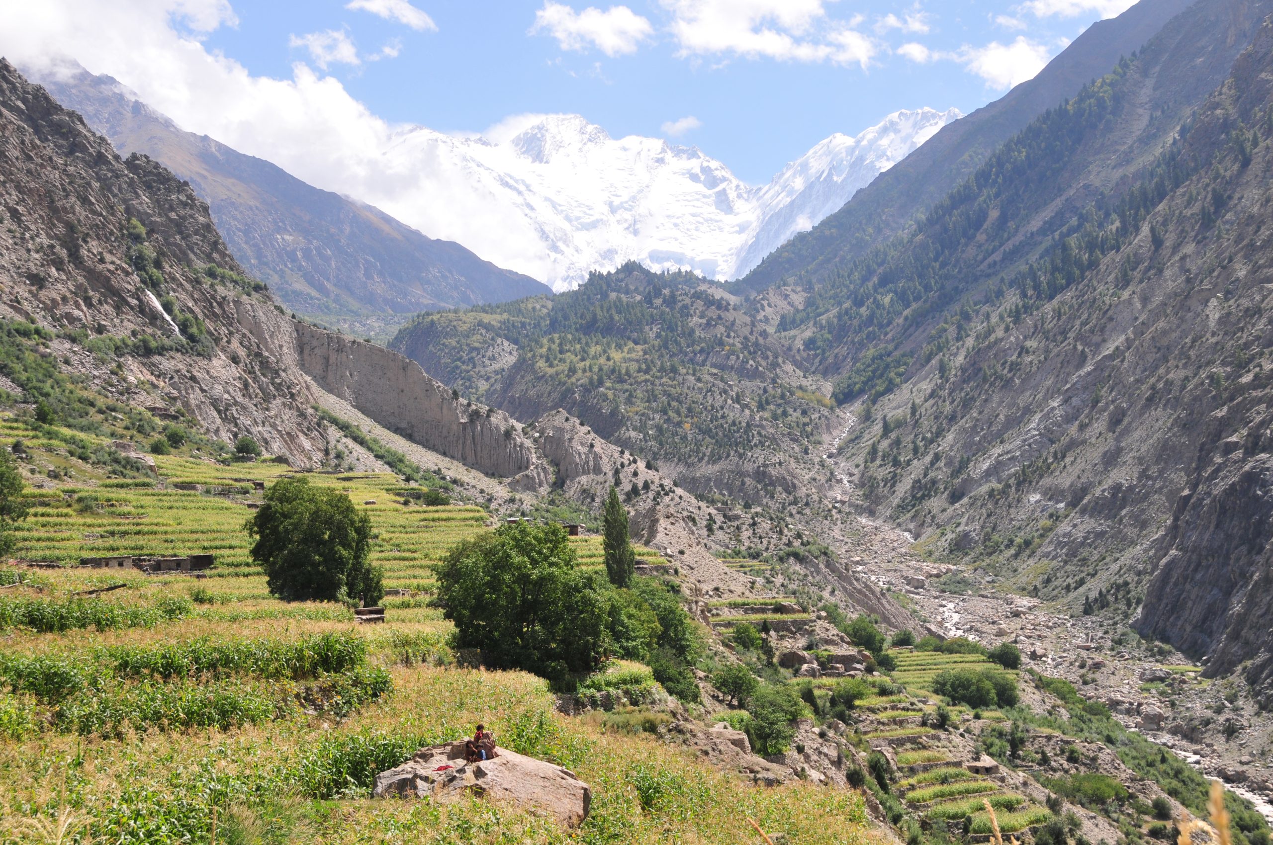
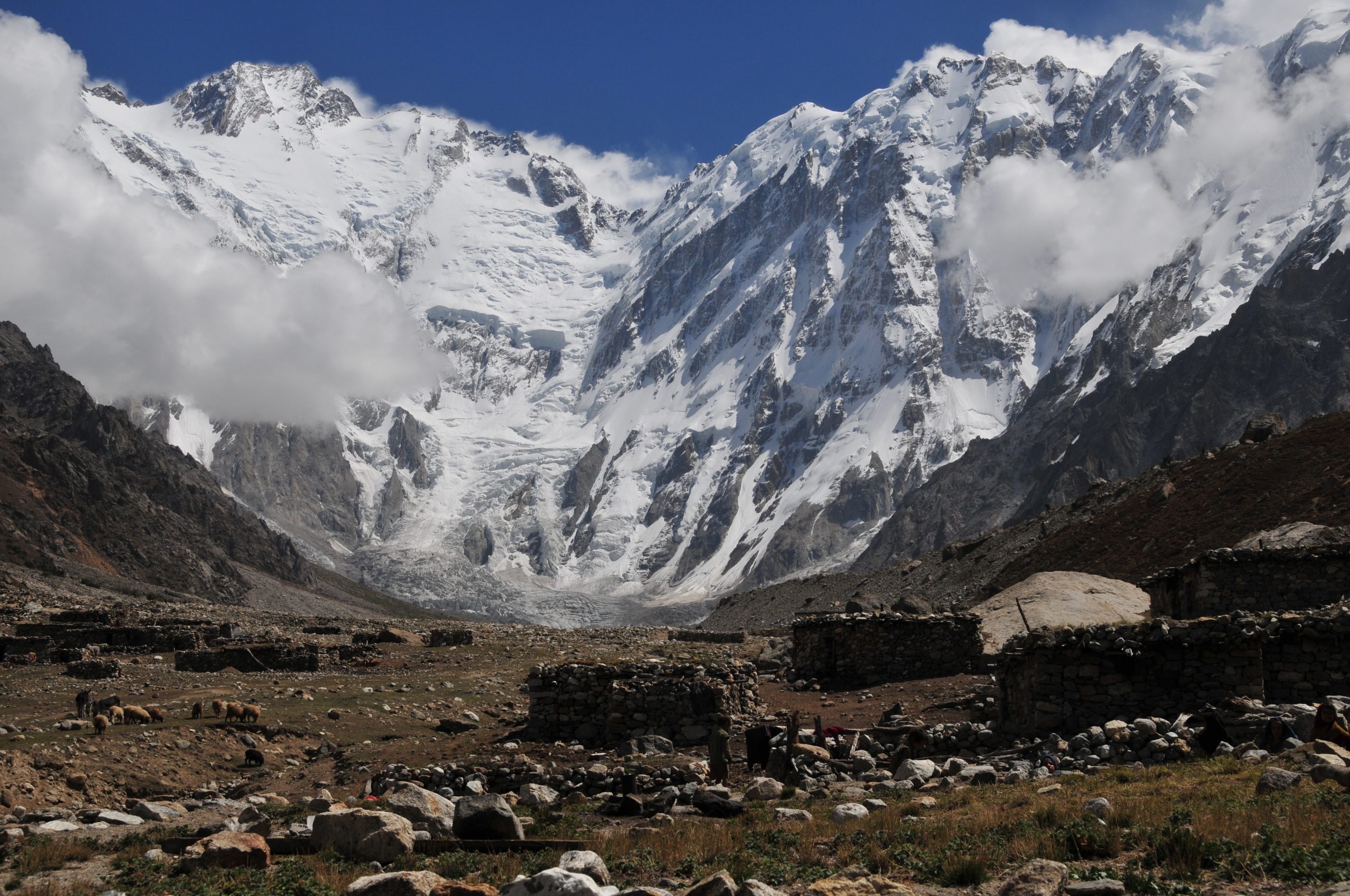
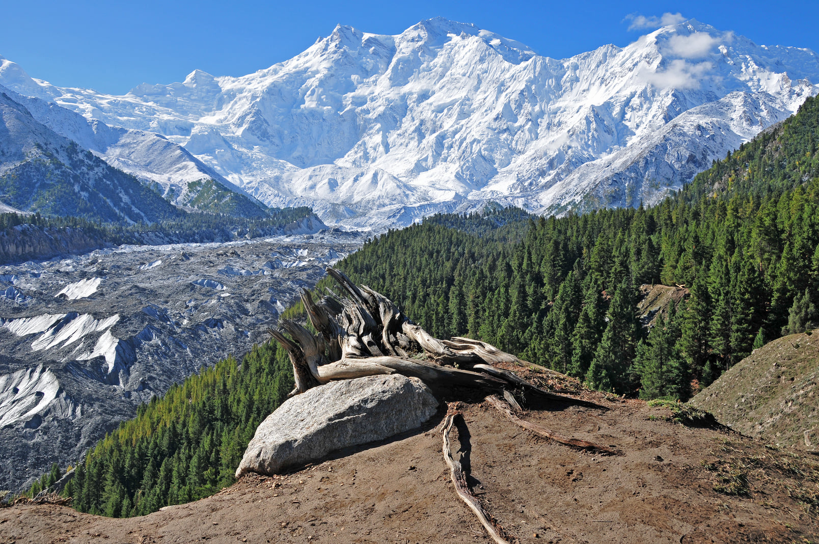
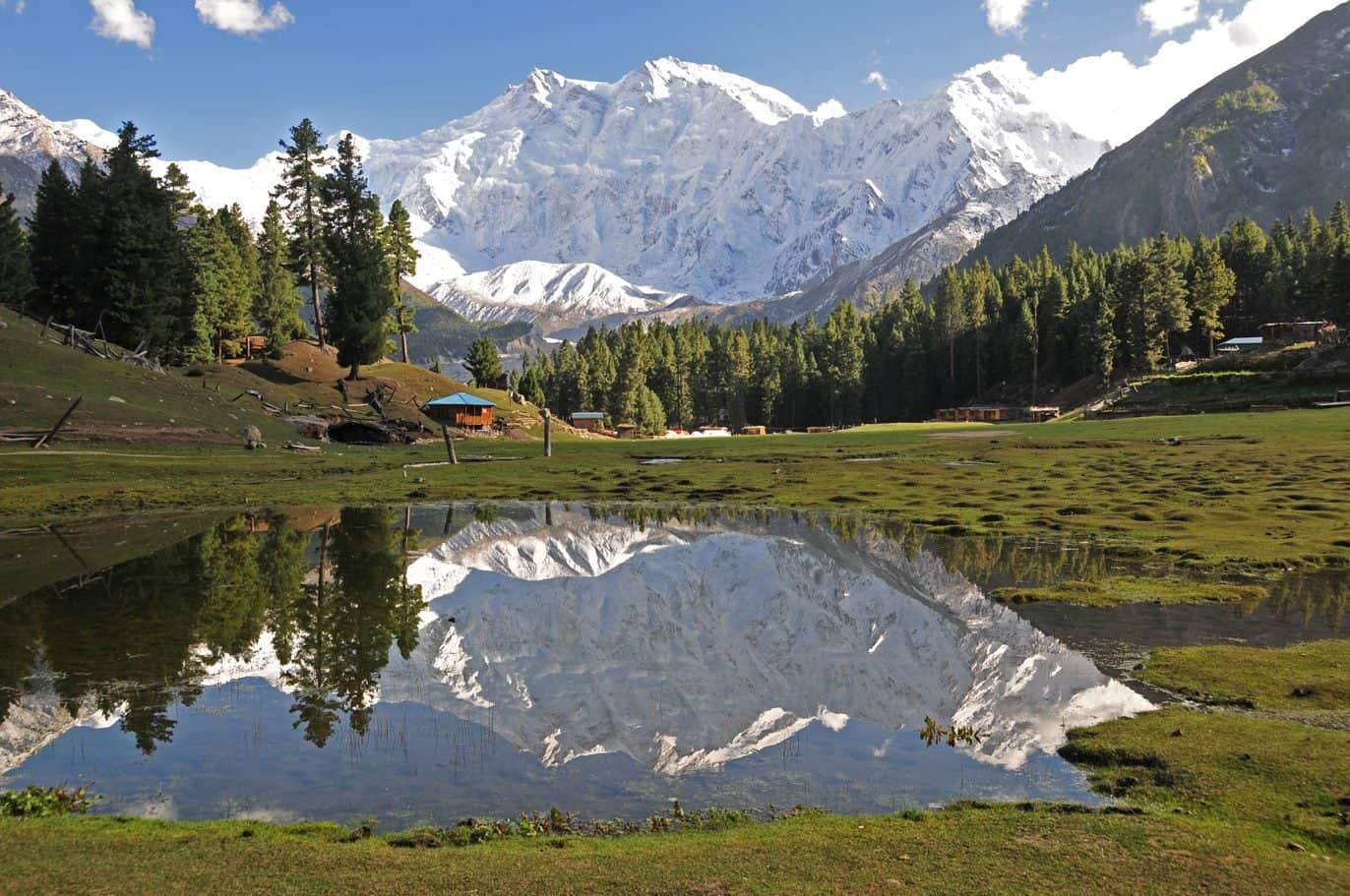
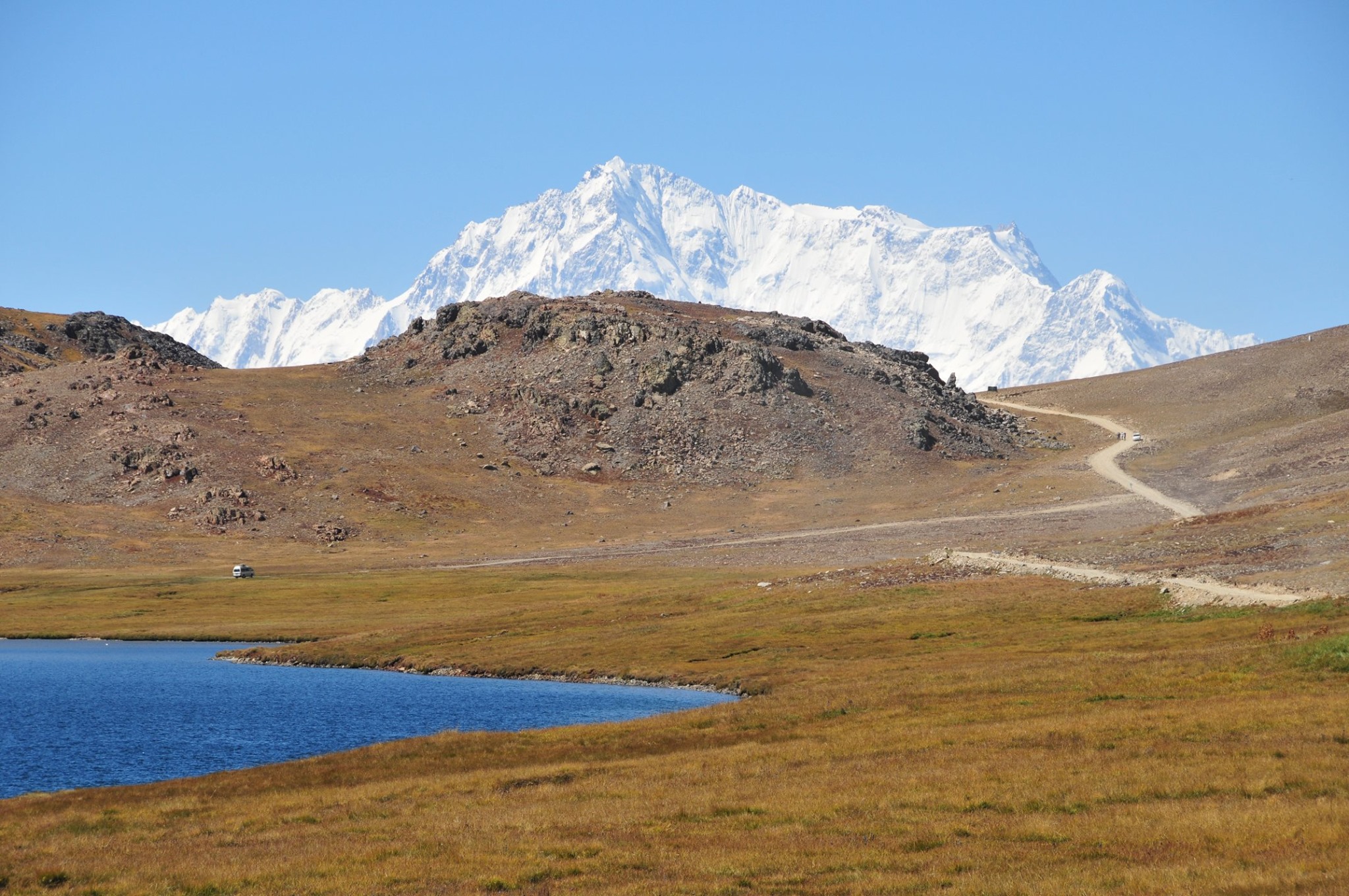
Broad Peak 8051m is one of the huge mountains which towers above Concordia at the heart of the Karakoram range. It lies on the Pakistani/Chinese frontier between K2 and the Gasherbrum peaks and was first climbed by an Austrian group in 1957, which included Kurt Diemberger and Herman Buhl.
