Gasherbrum II Expedition
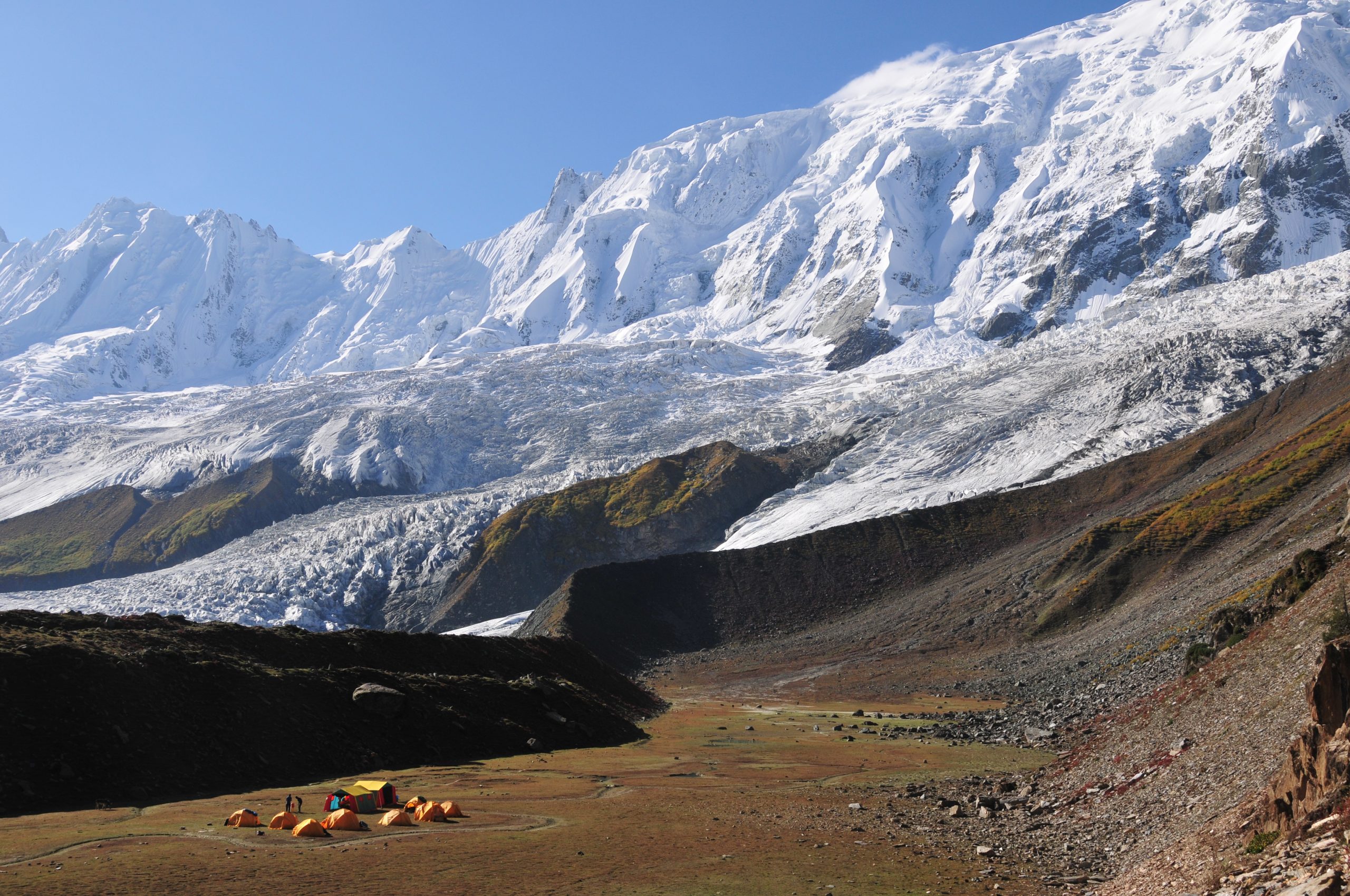
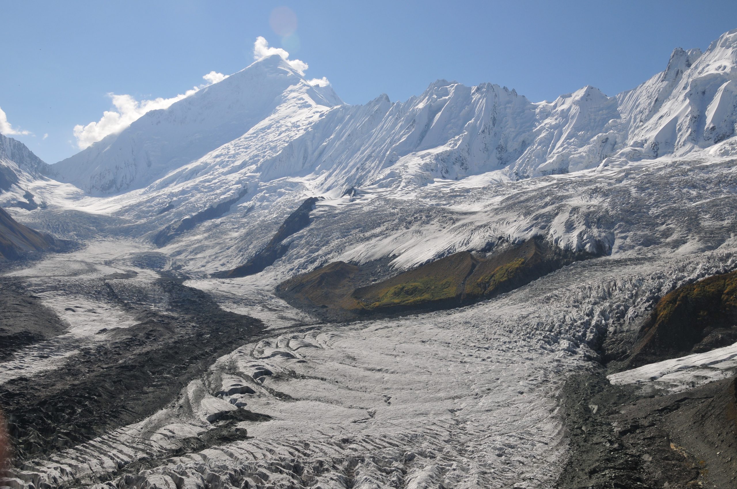
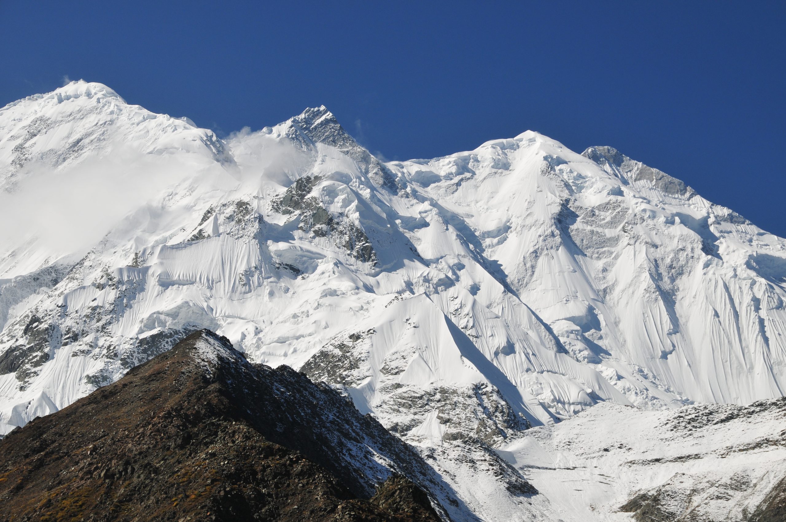
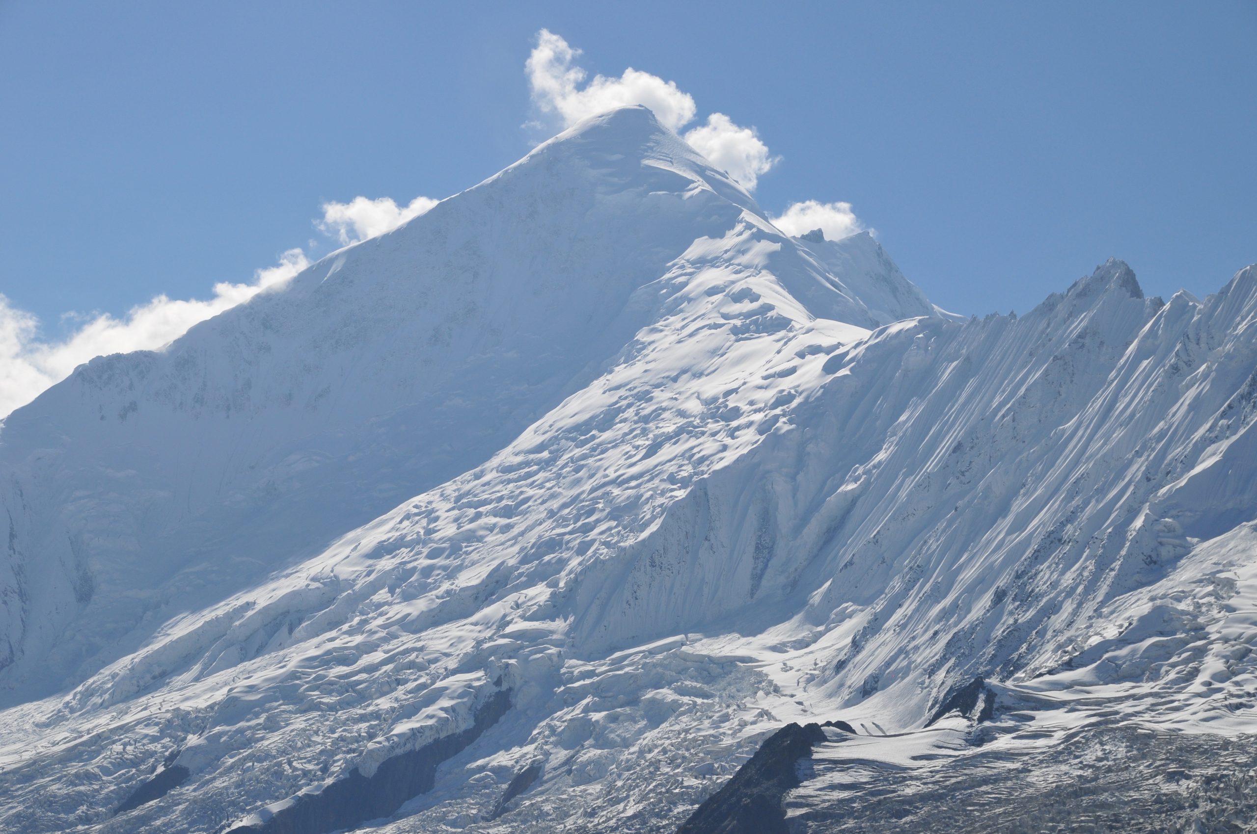
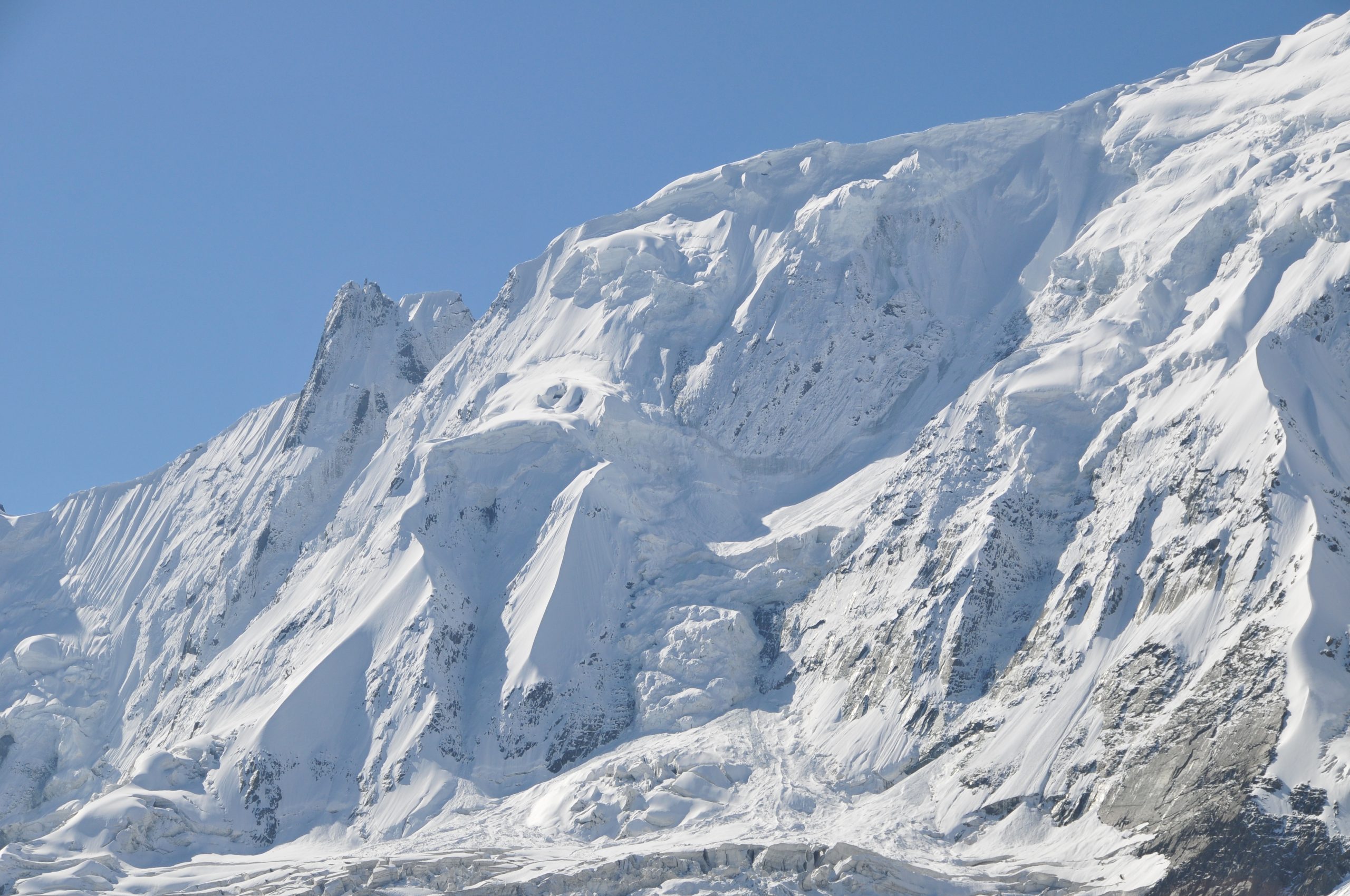
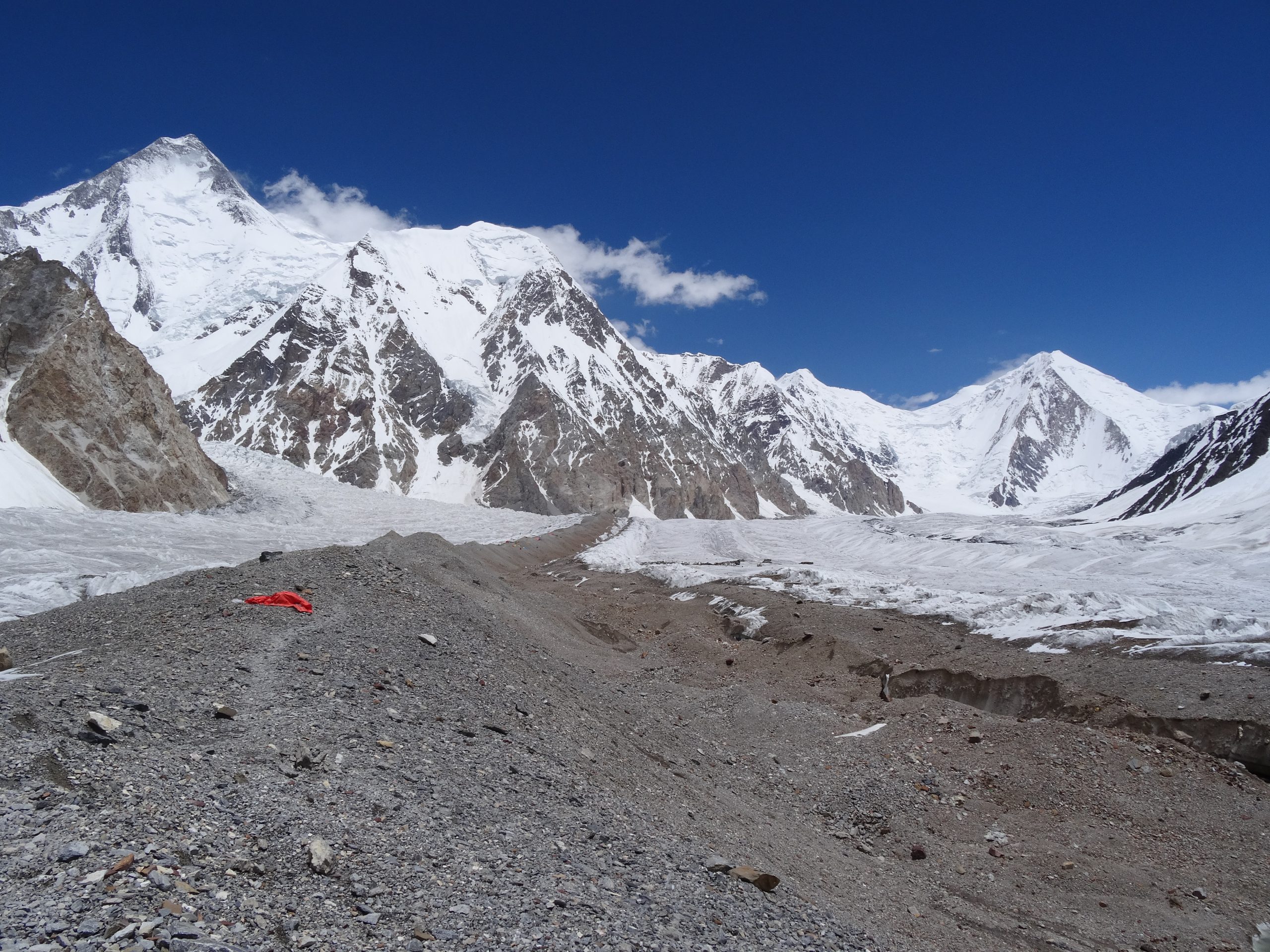
Gasherbum II 8,035 m lies at the head of the Baltoro Glacier amongst the greatest concentration of high mountains in the world. It was first climbed by S. Larche, F.Moravee and H. Willenpart in 1956.
Gasherbum II 8,035 m lies at the head of the Baltoro Glacier amongst the greatest concentration of high mountains in the world. It was first climbed by S. Larche, F.Moravee and H. Willenpart in 1956.

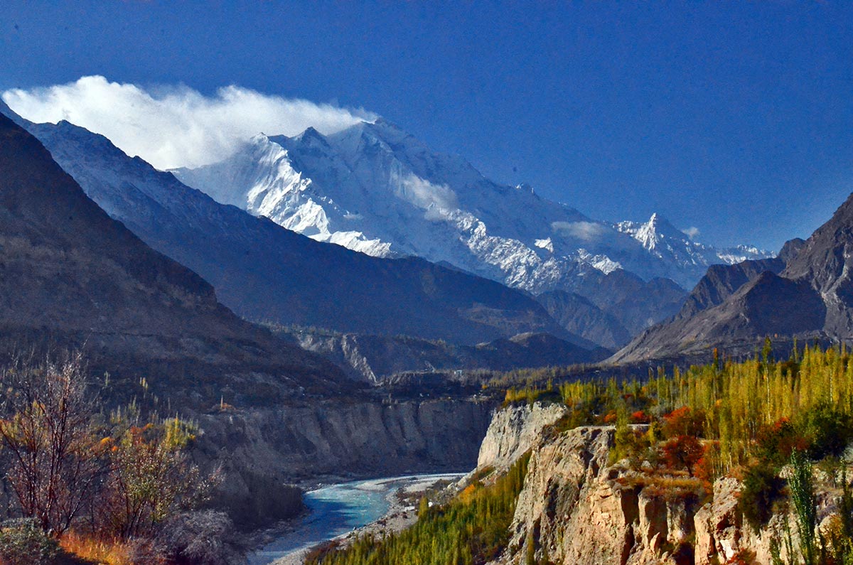
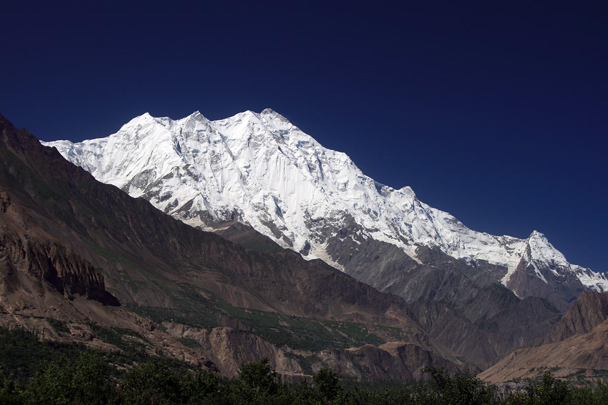
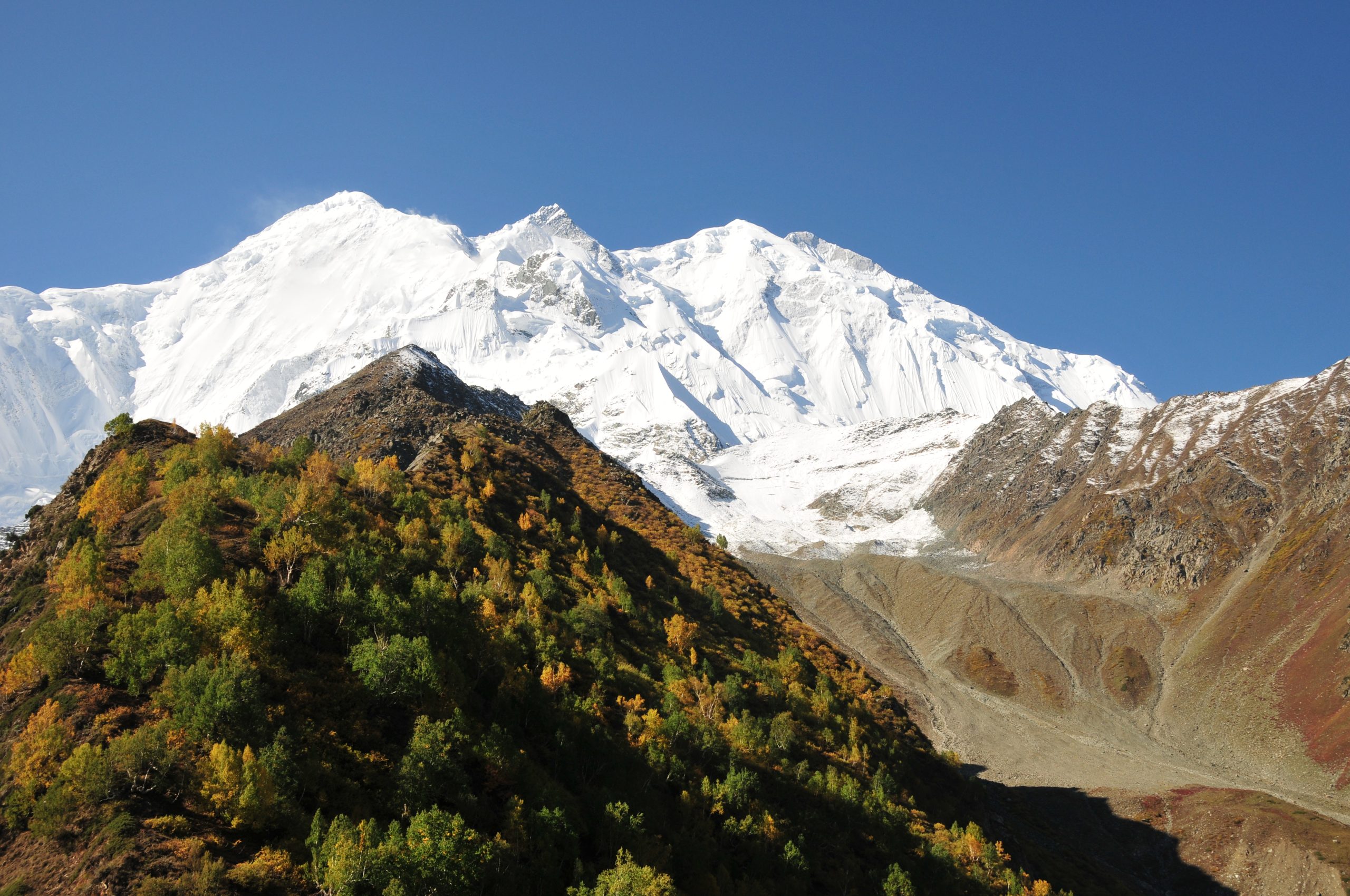
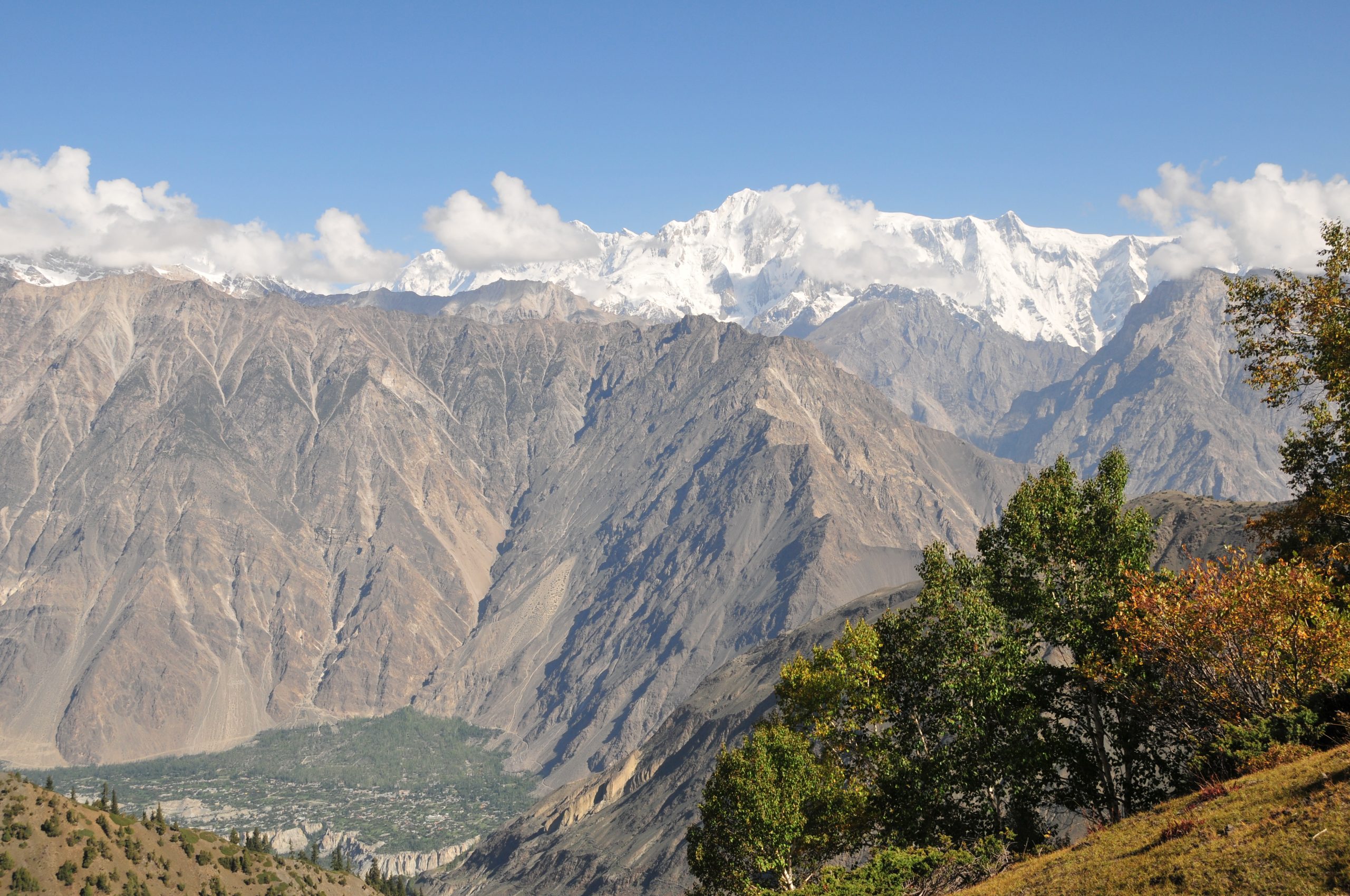
Diran peak 7266 m is called Minapin as well as Diran. It is situated in the Rakaposhi and Haramosh mountain region near the Minapin, Hinarchi and Baultar glaciers and is easily accessible because of the Karakoram Highway.

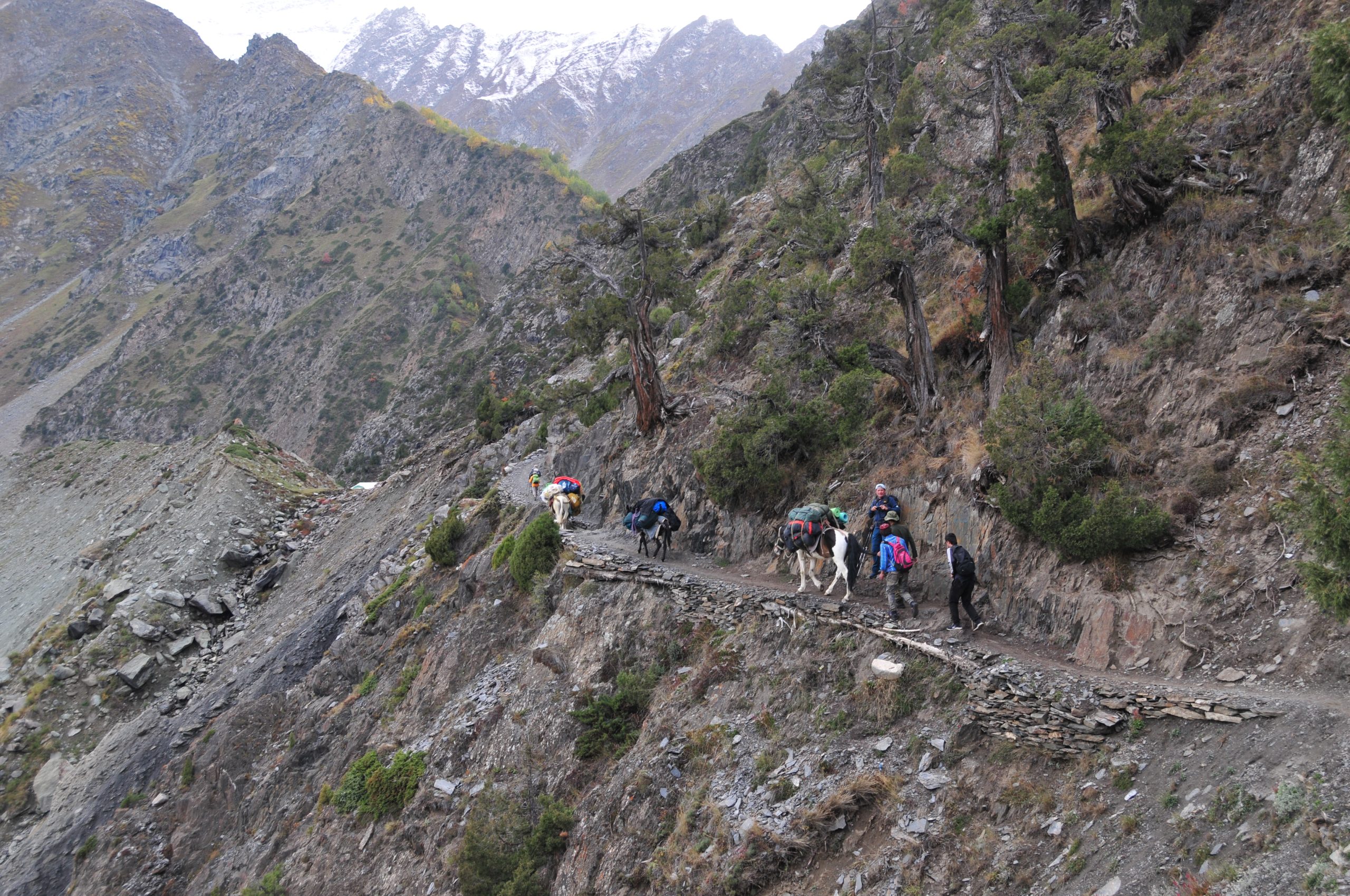
Great Trango Tower is one of the most spectacular granite towers in the world; a dream come true for ardent rock climbers. We climb a very straight forward and technically moderate route up the north face from our base camp on the Dunge Glacier.