Spantik Peak Expedition
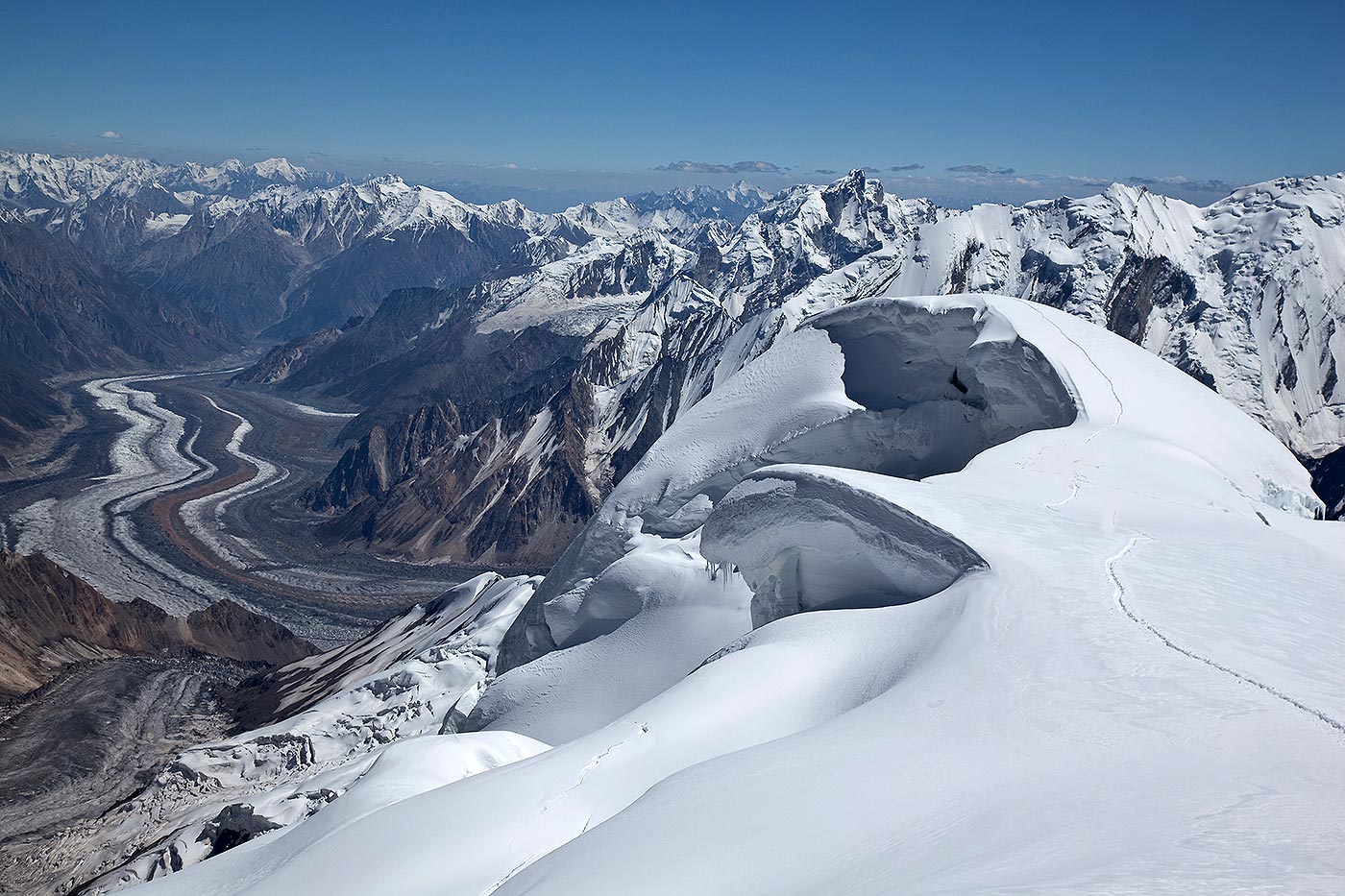
Spantik Peak 7027 m has 2 different climbing routes. Alexander Klenov and Mikhail Davy climbed the first section of the pillar along the English route and then continued via a new line which required 11 bivouacs overall.
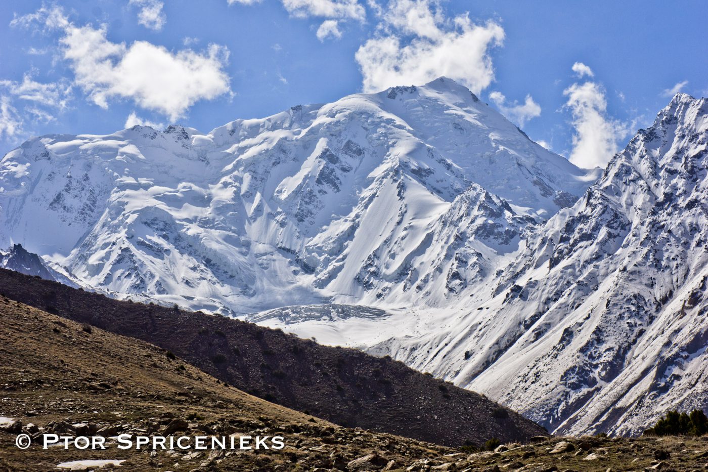
Nanga Parbat massif is the western corner pillar of the Himalayas. It is an isolated range of peaks just springing up from nothing and is surrounded by the rivers Indus and Astore. Nanga Parbat or “Nanga Parvata” means the ”naked mountain”. It’s original and appropriate name, however, is Diamir the “King Of The Mountains”.
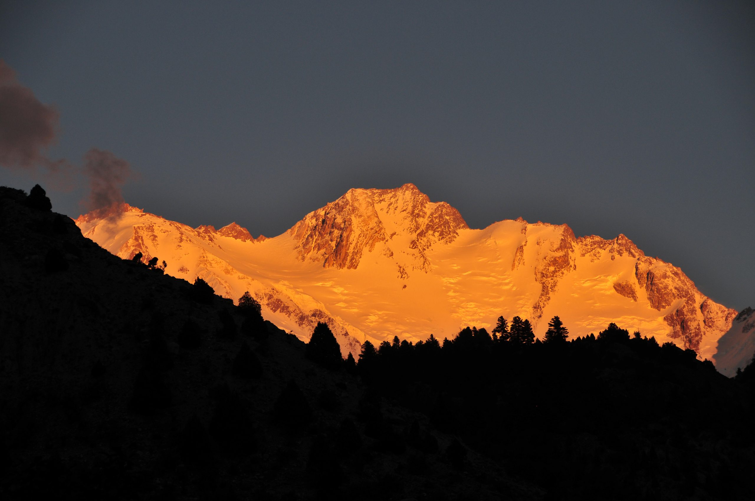
Nanga Parbat (main peak) has a height of 8125 meters. It has three vast faces. The Rakhiot (Ra Kot) face is dominated by the north and south silver crags and silver plateau. The Diamir face is rocky in the beginning. It converts itself into ice fields around the higher end of the peak. The Rupal face is the highest precipice in the world. Reinhold Messner, a living legend in mountaineering from Italy has said “every one who has ever stood at the foot of this face (4500 meters) up above the ‘Tap Alpe’; studied it or flown over it, could not help but have been amazed by its sheer size. Nanga Parbat is indisputably the highest rock and ice wall in the world!
Nanga Parbat has always been associated with tragedies and tribulations until it was climbed in 1953. A lot of mountaineers have perished on Nanga Parbat since 1895. Even in recent years it has claimed a heavy toll of human lives including mountaineers, porters, Special Forces personnel trained by the military and more, all in search of adventure and thrill. It’s victims have included those in pursuit of new and absolutely un-climbed routes leading to it’s summit.
It was in 1841 that a huge rock slide from Nanga Parbat dammed the Indus river. This created a huge lake, 55 km long, like the present Tarbela dam down stream. The flood of water that was released when the dam broke caused a rise of 80 ft. in the river’s 3rd level at Attock and swept away an entire Sikh army. It was also in the middle of the nineteenth century that similar catastrophes were later caused by the damming of Hunza and Shyok rivers.
The Nanga Parbat peak was first known to the Europeans in the nineteenth century. The Schlagintweit brothers, who hailed from Munich (Germany) came in 1854 to Himalayas and drew a panoramic view, which is the first known picture of Nanga Parbat. In 1857 one of them was murdered in Kashgar. The curse of Nanga Parbat had begun.
| Other Names/Spellings | Nanga Parbat Peak Diamir | |
| Elevation (feet) | 26,658 | |
| Elevation (meters) | 8,125 | |
| Location | Diamer Chilas-Pakistan | |
| Latitude | 35°; 53′ N | |
| Longitude | 74°; 31′ E | |
| Best Climbing Months | June, July, August, September | |
| Year First Climbed | 1953 | |
| First Climber(s) | Herman Buhl | |
| Convenient Center(s) | Chilas, Pakistan | |
| Nearest Major Airport | Rawalpindi, Pakistan | |
| Importance | 9th Highest Mountain In The World. | |
| Best Trek Season | June to September |
Of the numerous peaks situated in the Himalayan region, Nanga Parbat peak has passed into mountaineering lexicon. Standing remote and aloof, at the western edge of these ranges, Nanga Parbat’s name that means “the Naked Mountain”, describes the peak better than anything else. Its sharp ridges can hold little snow and this unclad appearance is most unusual in zones where all other mountains are wrapped in white snow. It is considered the ninth highest mountain in the world.
Nanga Parbat is much favored by most climbers, but it were the Germans, who gave it the name, Murder Mountain. The explorer, Albert Frederick Mummery, was the first to venture on this mountain. Daunting and wild, bearing the onslaught of gnawing wind and torrential rain during the monsoons, Nanga Parbat is full of the dangers of the unknown. The Sherpas, localities of the Himalayan region call Nanga Parbat, “the maneater” or the ‘Mountain of the Devil’. No other peak has claimed lives with such sickening regularity and the list of tragedies is heart-wrenching. In the last century, roads have been built in the Karakoram range, but little else has changed in this region.
Nanga Parbat has a height of 8126 meters/26,660 ft. It has three vast faces. The Rakhiot (Ra Kot) face is dominated by the north and south silver crags and silver plateau; the Diamir face is rocky in the beginning. It converts itself into ice fields around Nanga Parbat peak. The Rupal face is the highest mountaintop in the world.
Reinhold Messner, a living legend in the sport of mountaineering from Italy, says that “Every one who has ever stood at the foot of this face (4,500 meters) up above the ‘Tap Alpe’, studied it or flown over it, could not help but have been amazed by its sheer size; it has become known as the highest rock and ice wall in the world!”
The Nanga Parbat peak was discovered in the 19th century by Europeans. The Schlagintweit brothers, who hailed from Munich, Germany came in 1854 to Himalayas and drew a panoramic view, which is the first known picture of Nanga Parbat. In 1857 one of them was murdered in Kashgar and this was the beginning of curse of Nanga Parbat.
Transfer to hotel. Made necessary arrangements.
Briefing at Ministry of Tourism.
Drive to Chilas. Transfer to hotel for overnight.
Drive to Bunar. Overnight at hotel.
Trek to Base Camp.
Reserved for climbing.
Trek to Bunar and drive to Chilas. Overnight at Hotel.
Drive to Islamabad. Transfer to hotel for overnight.
Debriefing at Ministry of Tourism. Overnight at hotel.
Transfer to Airport.
Please Note:

Spantik Peak 7027 m has 2 different climbing routes. Alexander Klenov and Mikhail Davy climbed the first section of the pillar along the English route and then continued via a new line which required 11 bivouacs overall.

Geshot 6324 m is the local name for the northern most of the Toshe group of peaks. Access from the Bunar valley offers an interesting variation on the north and west aspects of this massif, accessing the unclimbed summits of this group.

Nanga Parbat 8126m massif is the western corner pillar of the Himalayas. It is an isolated range of peaks just springing up from nothing and is surrounded by the rivers Indus and Astore. Nanga Parbat or “Nanga Parvata” means the naked mountain.