Rakaposhi Expedition
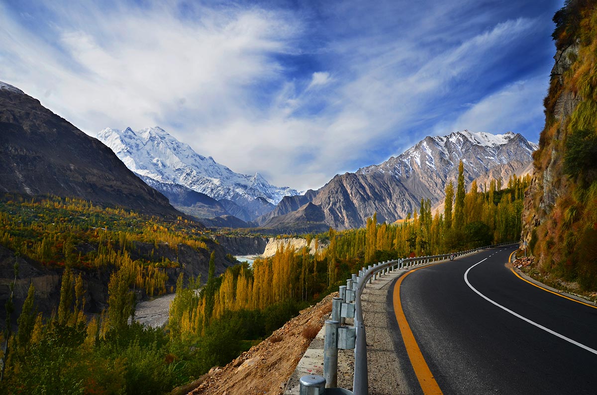
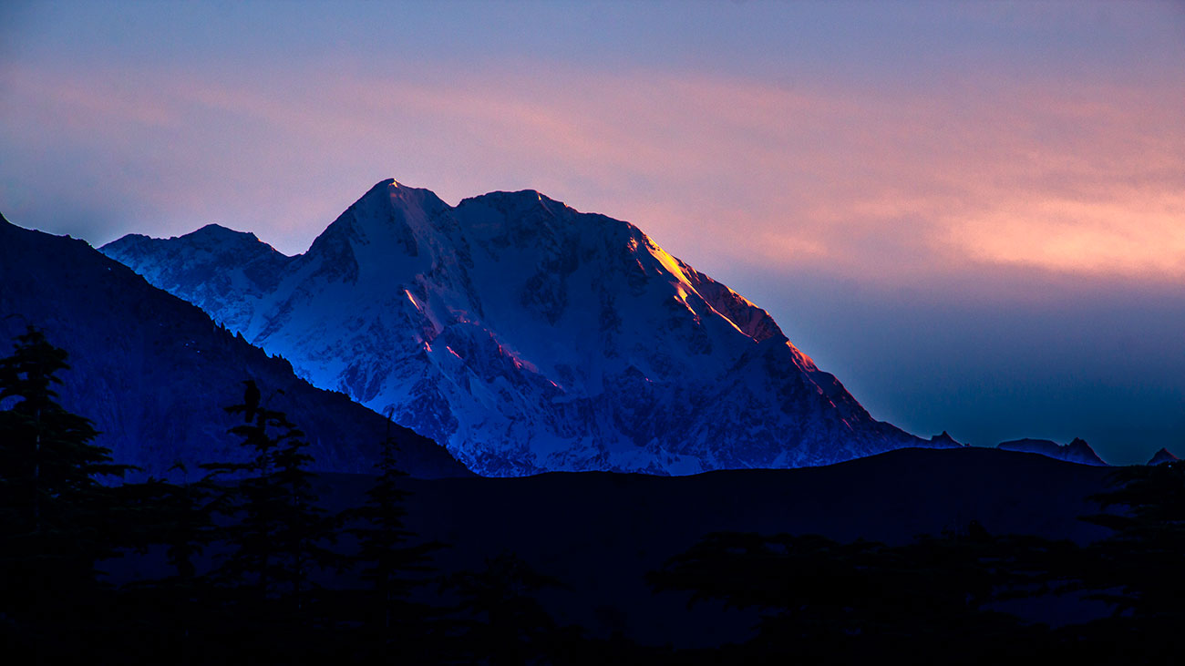
Rakaposhi 7788m, is one of the most magnificent peak found in the world today. It is situated near the town of Gilgit and with a height of 7,788m/25,551ft it is easily climbable from all sides.
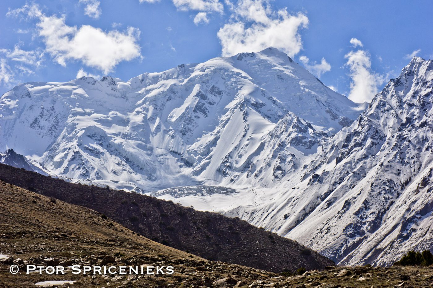
Geshot peak 6324 m is the local name for the northern most of the Toshe group of peaks. Access from the Bunar valley offers an interesting variation on the north and west aspects of this massif, accessing the unclimbed summits of this group. Avoiding the long and convoluted Toshain Glacier on the east side, basecamps for Geshot (Peak 6200), Peak 6324 and Toshe 1 6242m (all unclimbed) are a two day trek from the end of the road at the village of Bunar Jal.
The Geshot basecamp has been established by Ptor Spricenieks on 2 different ski attempts on it’s northwest flank. The Peak 6324 and Toshe 1 basecamps would be located somewhere up the Jalhari Glacier, have yet to be established. All routes offer direct steep snow climbing in spring along with potentially significant avalanche risk. In summer, the technical difficulty would increase as the steep slopes return to icy conditions. Ridge climbs could also be possible.
Transfer to hotel. Made necessary arrangements.
Beriefing at Ministry of Tourism.
Driver to Chilas. Transfer to hotel for overnight stay.
Drive to Bunar. Overnight at camp.
Trek to Base Camp
Reserved for climbing
Trek to Bunar and drive to Chilas. Overnight at hotel.
Drive to Islamabad. Overnight at hotel.
Debriefing at Ministry of Tourism. Overnight at hotel.
Transfer to airport for international flights
Please Note:

Rakaposhi 7788m, is one of the most magnificent peak found in the world today. It is situated near the town of Gilgit and with a height of 7,788m/25,551ft it is easily climbable from all sides.

Tirich Mir is like Rakaposhi and Nanga Parbat to the east, is known for being the home of ‘Peris’ called “fairies” in English. The Tirich valley parallels the Turikho Valley and is separated from it by a 15 mile-long flat-topped ridge…

Geshot 6324 m is the local name for the northern most of the Toshe group of peaks. Access from the Bunar valley offers an interesting variation on the north and west aspects of this massif, accessing the unclimbed summits of this group.