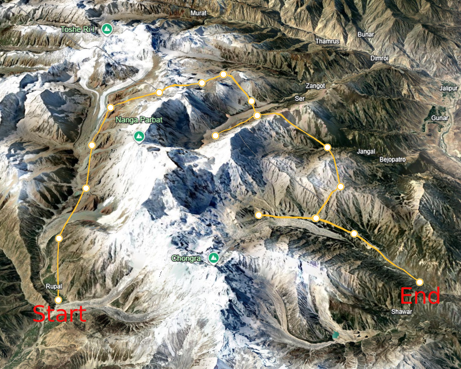
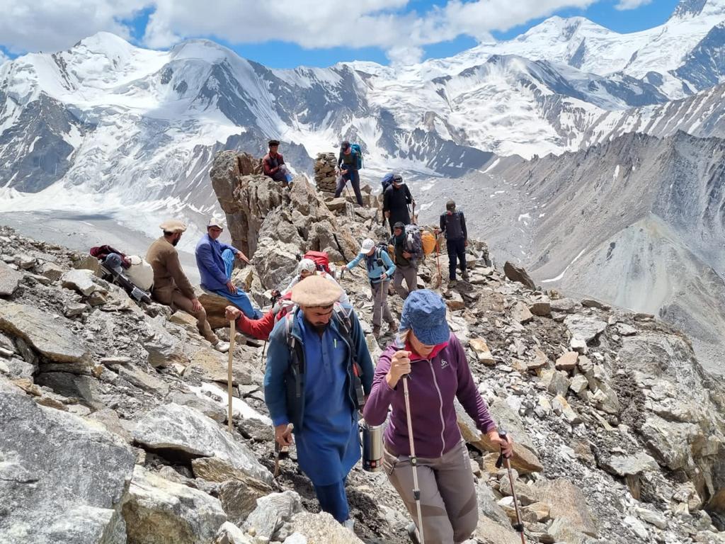
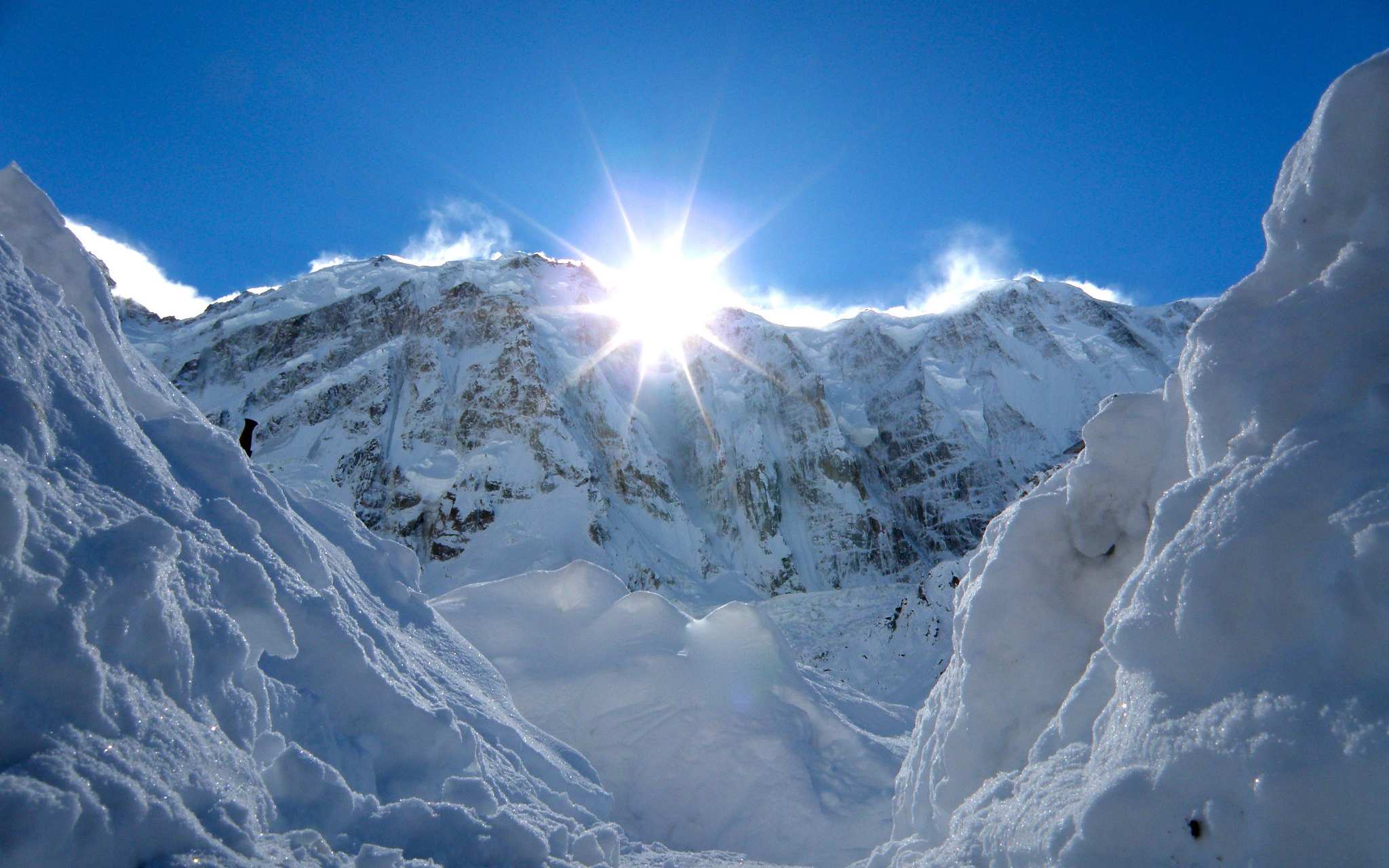
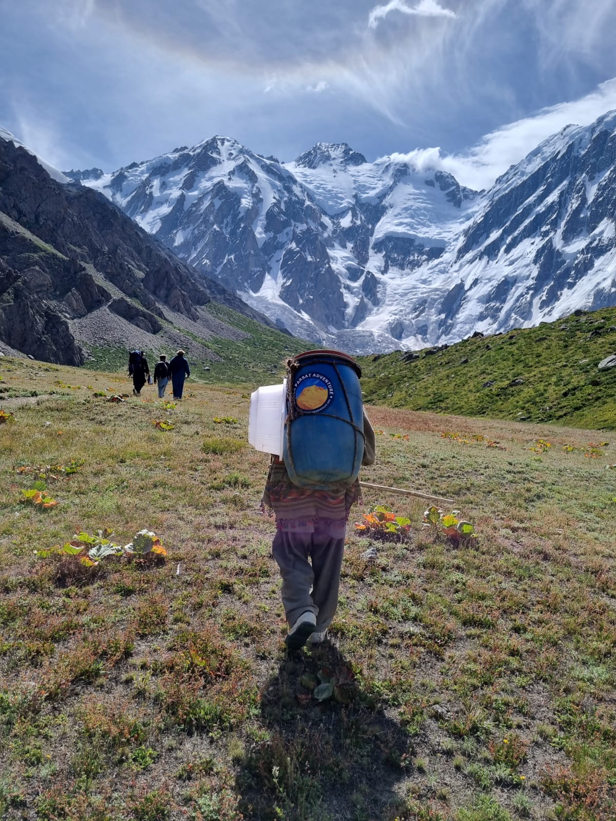
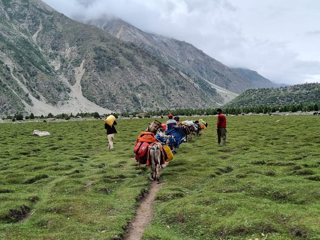
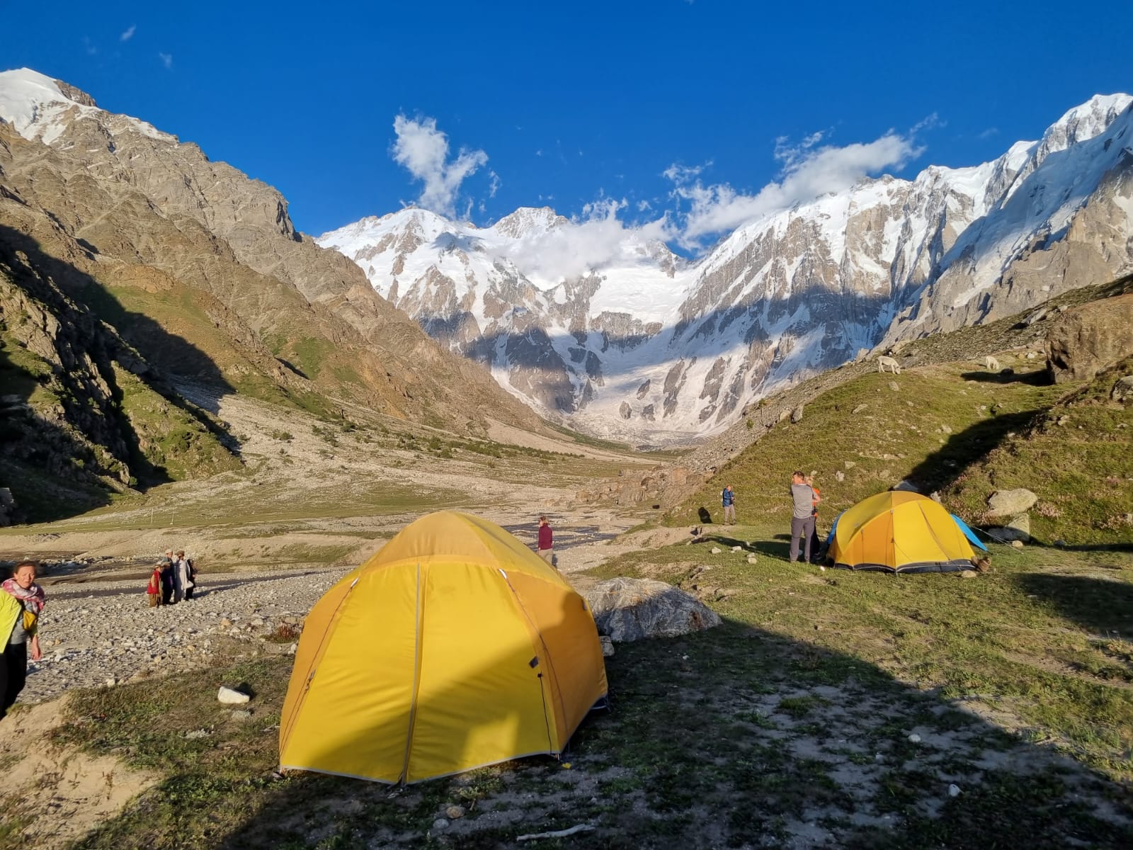
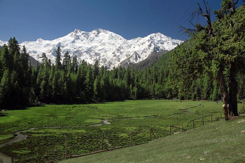
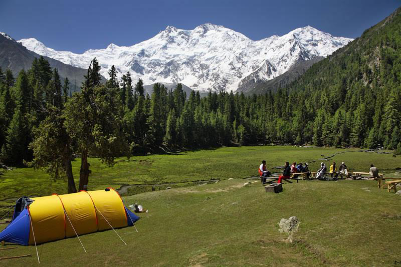
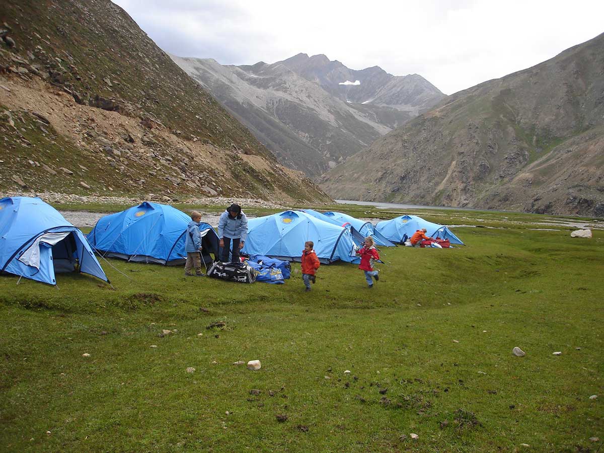
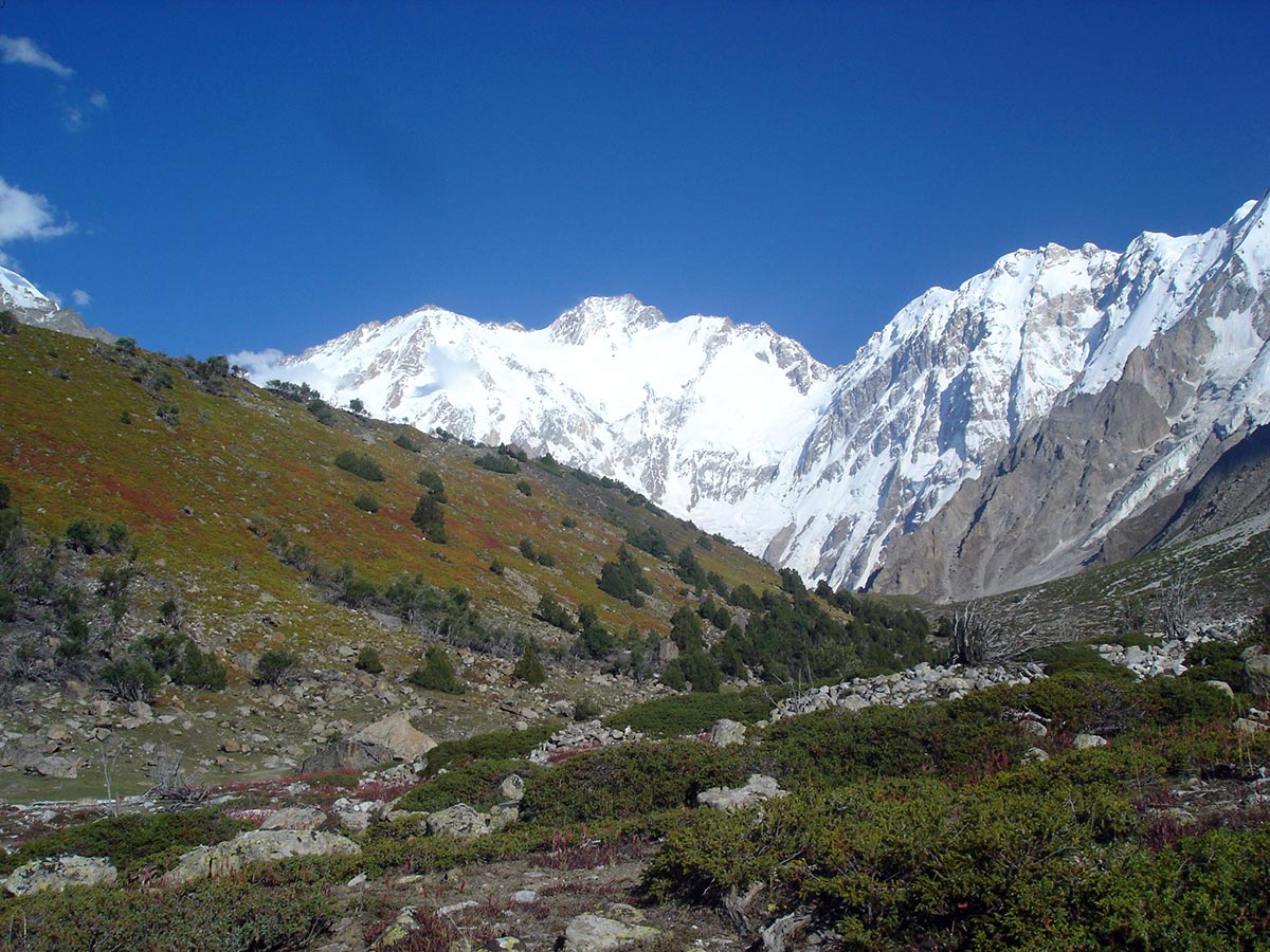
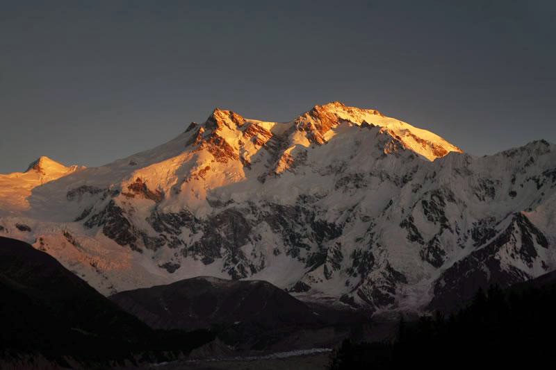
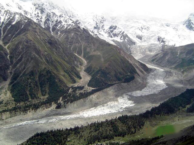
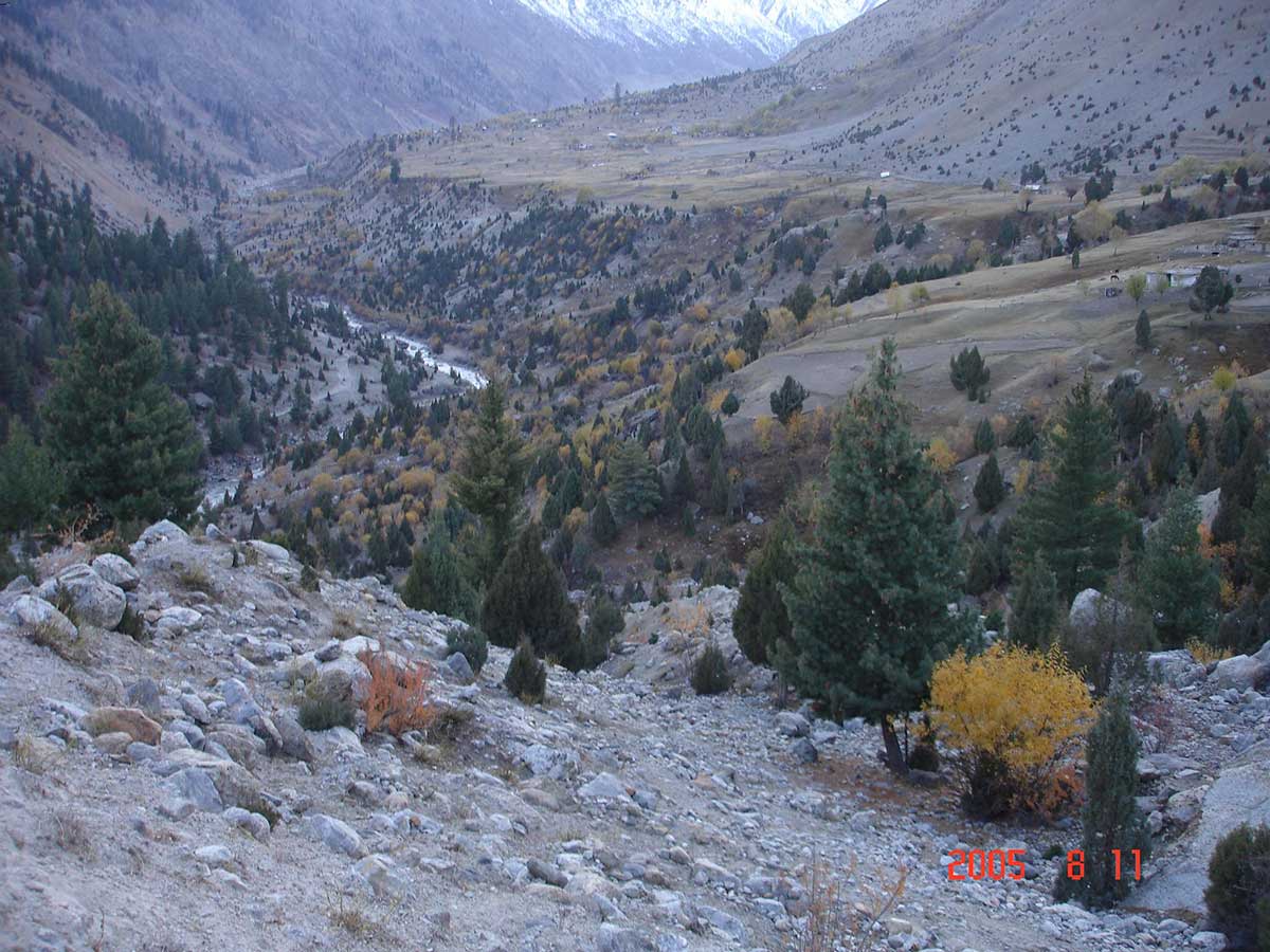
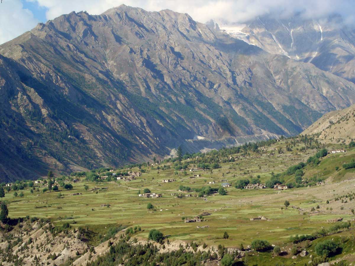
K2 Gondogoro La and Nanga Parbat trek
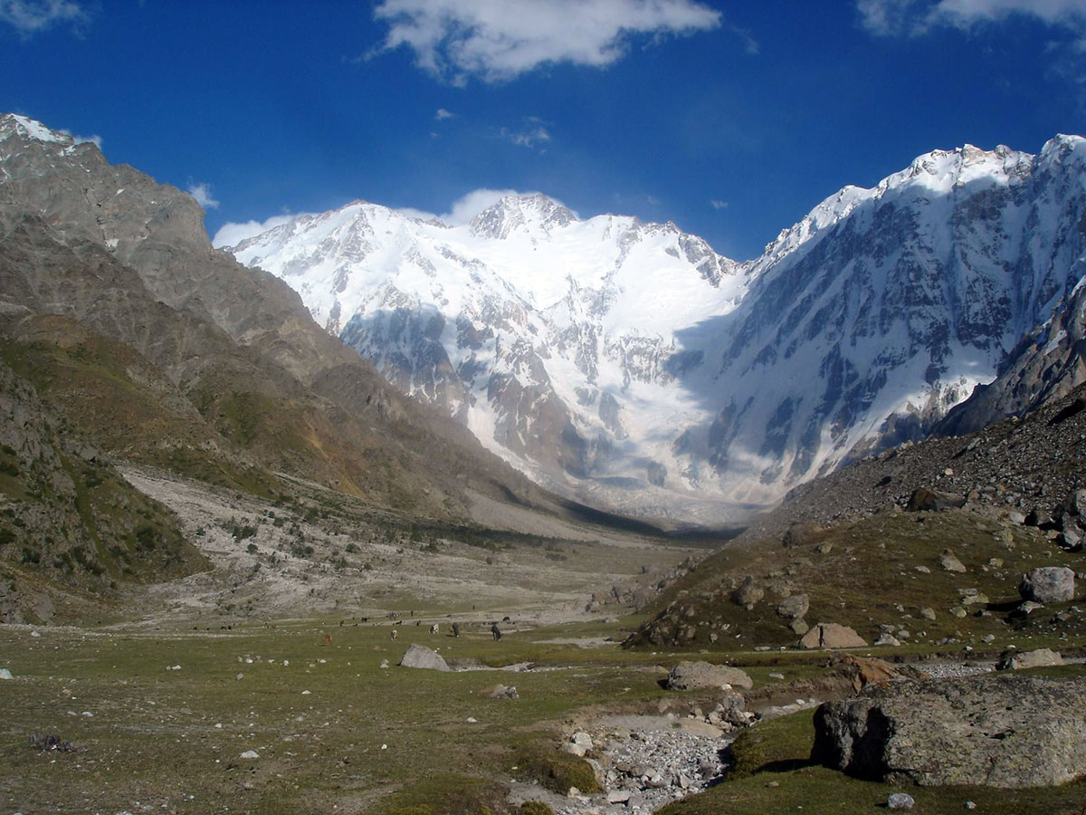
K2 Gondogoro La and Nanga Parbat trek are renowned for their breathtaking scenery and challenging routes, attracting experienced trekkers from around the world. it’s important to understand that they offer distinct, yet equally awe-inspiring, experiences within the Pakistani Himalayas.