Diran peak expedition

34 DAYS / 33 NIGHTS

“We have climbed the mountain there’s nothing more to do. It’s terrible to come down to the valley when, amidst many flowers one thinks of snow.”

Diran peak 7266 m is called Minapin as well as Diran. It is situated in the Rakaposhi and Haramosh mountain region near the Minapin, Hinarchi and Baultar glaciers and is easily accessible because of the Karakoram Highway. It is 7,273m/23,861ft. in height. Being one of the most fascinating peaks that dominates the Gilgit valley, Diran adds special color to otherwise rugged beauty of the valley.

Itinerary

Transfer to hotel. Made necessary arrangements.

Briefing at Ministry of Tourism.

Drive to Chilas. Transfer to Hotel for overnight stay.

Drive to Karimabad. Overnight at hotel.

Drive to Hapakun. Overnight at Camp.

Trek back to Taghafari. Overnight in tents.

Trek to Diran Peak Base Camp.

Reserved for climbing Diran Peak.

Trek back to Taghafari. Overnight at tents.

Trek back to Minapin. Overnight in tents.

Drive to Karimabad. Overnight at hotel.

Drive to Chilas. Overnight in hotel.

Drive to Islamabad. Overnight at hotel.

Debreifing at Ministry of Tourism. Overnight at hotel.

Transfer to airport.

Please Note:

The above itinerary is not a fixed programme but is intended to give an indication of the likely events during the expedition. Please note that because of the nature of mountaineering on 8,000m peaks, it will be necessary to have a flexible plan in order to take the best advantage of situations as they present themselves. Any changes to the itinerary will be made with a view to maximizing the benefit to the team members and of ensuring their eventual success on the mountain.

MAIL US YOUR QUERIES

Discover Pakistan

Expedition Tours

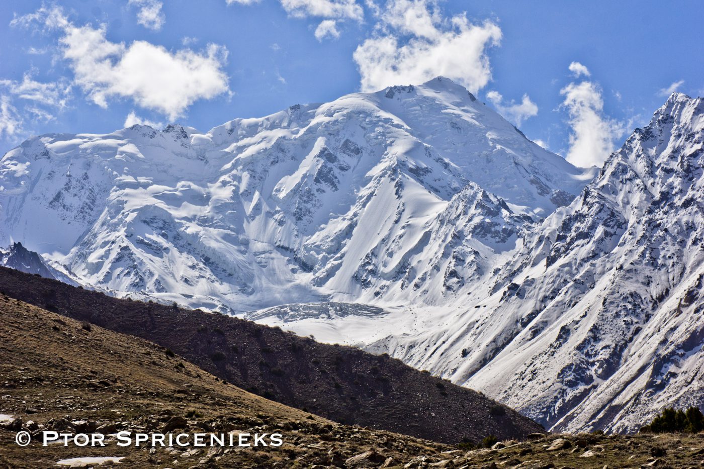
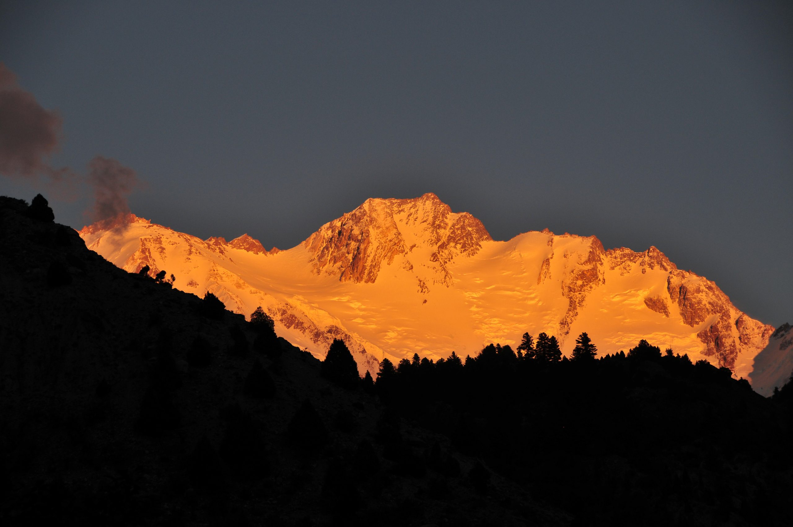
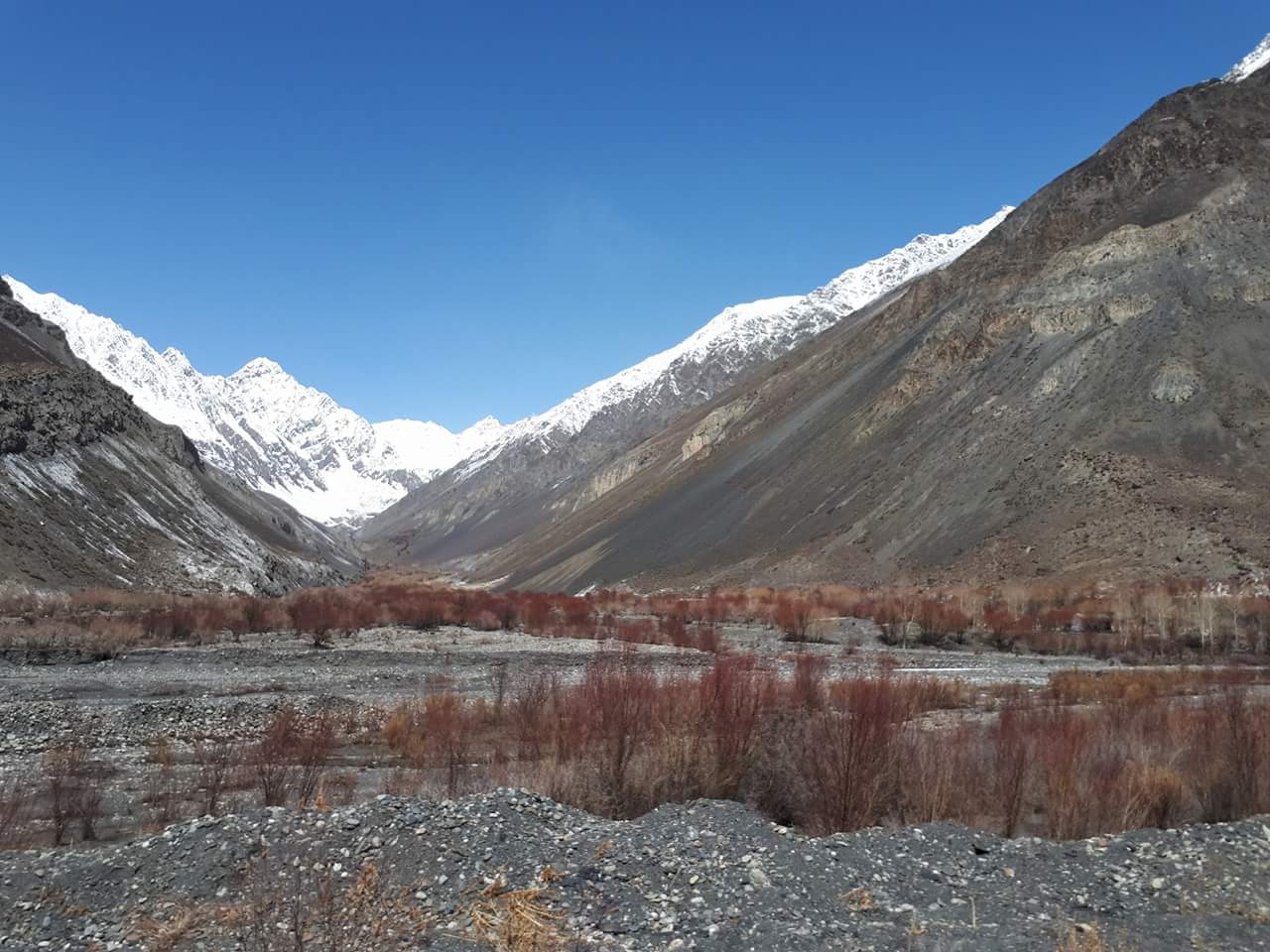
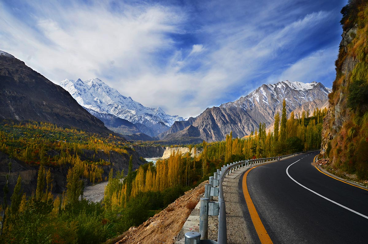
Tirich Mir Expedition

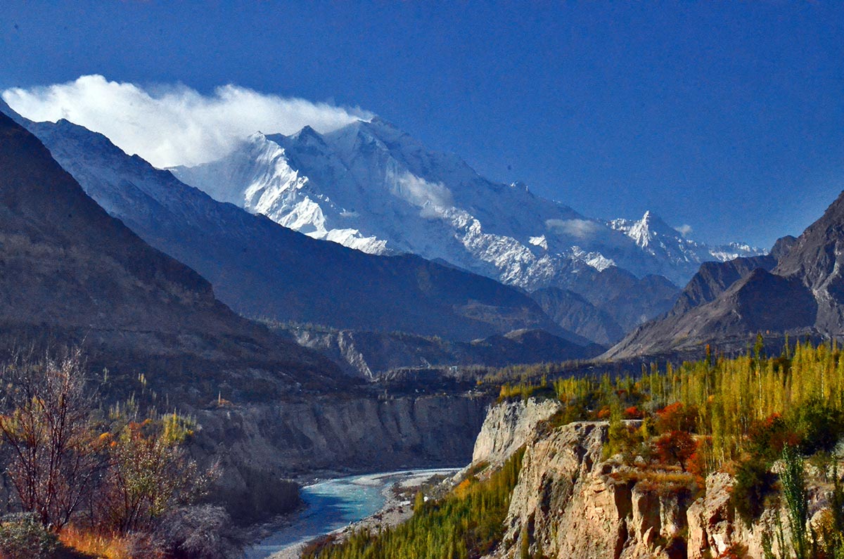
Tirich Mir is like Rakaposhi and Nanga Parbat to the east, is known for being the home of ‘Peris’ called “fairies” in English. The Tirich valley parallels the Turikho Valley and is separated from it by a 15 mile-long flat-topped ridge…

Geshot Peak Expedition

Geshot 6324 m is the local name for the northern most of the Toshe group of peaks. Access from the Bunar valley offers an interesting variation on the north and west aspects of this massif, accessing the unclimbed summits of this group.

Nanga Parbat Expedition

Nanga Parbat 8126m massif is the western corner pillar of the Himalayas. It is an isolated range of peaks just springing up from nothing and is surrounded by the rivers Indus and Astore. Nanga Parbat or “Nanga Parvata” means the naked mountain.